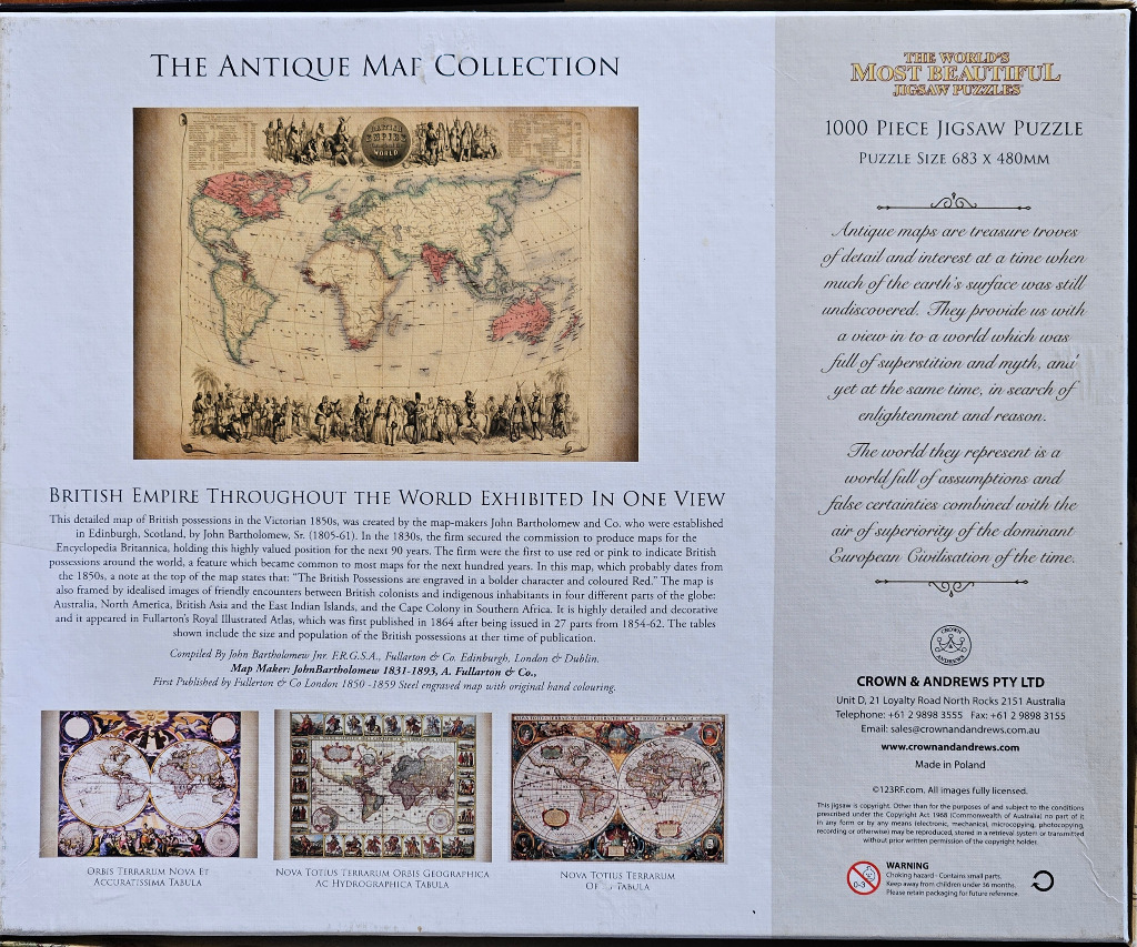
19th Century British Empire Map
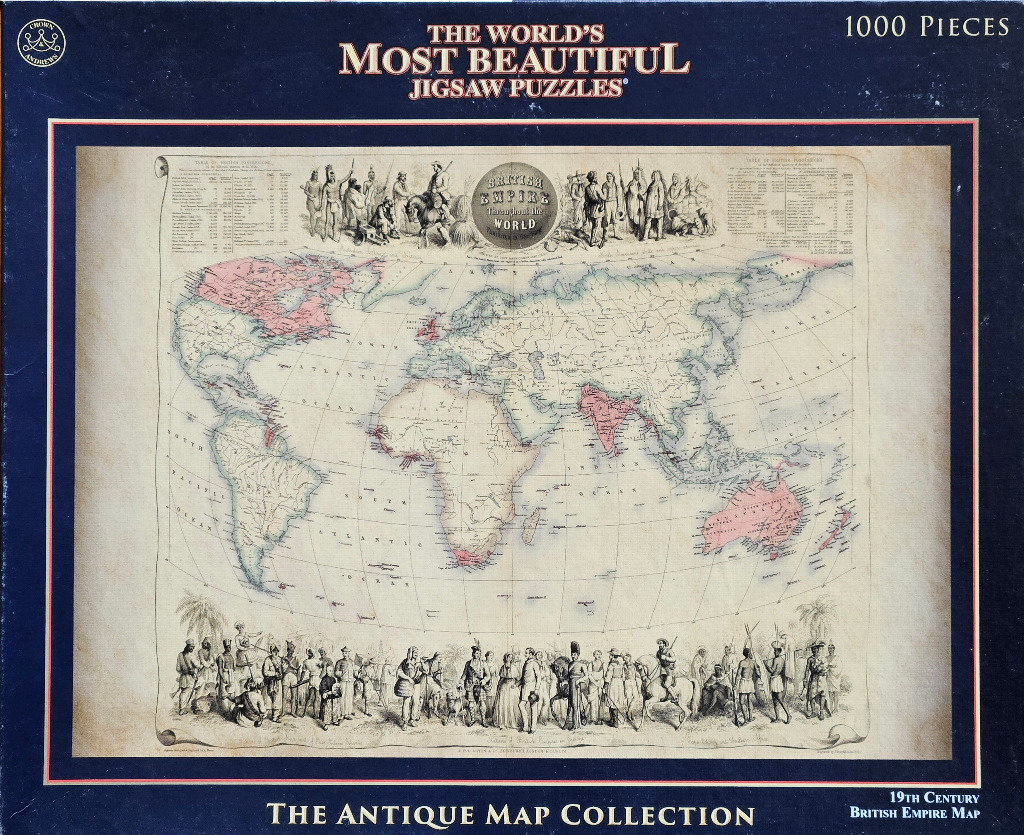
This vintage-style illustration features a world map centered on the mid-19th-century British Empire. The map utilizes a muted, parchment-toned background with fine black ink lines for coastlines and geographical features. Select regions under British influence are highlighted in soft pink, contrasting against the neutral beige landmasses and pale blue oceans. The aesthetic is that of a historical survey or cartographic document from the Victorian era.
The layout is densely framed by decorative elements. At the top center, an ornate circular seal titled "BRITISH EMPIRE throughout the WORLD" acts as the focal point, flanked by detailed, hand-drawn vignettes of colonial figures in period attire. Similar, more expansive scenes of figures in traditional and military dress span the entire bottom border, depicting an array of individuals from various regions of the empire standing against faint, etched landscapes.
Two statistical tables flank the top-center emblem, providing historical data on the British Empire. The overall mood is academic and imperial, rendered in the style of a lithograph or steel engraving. The edges of the map have a subtle, aged patina, giving it the appearance of an authentic antique artifact preserved through time.