Marco Island Goodland & Isles of Capri Florida
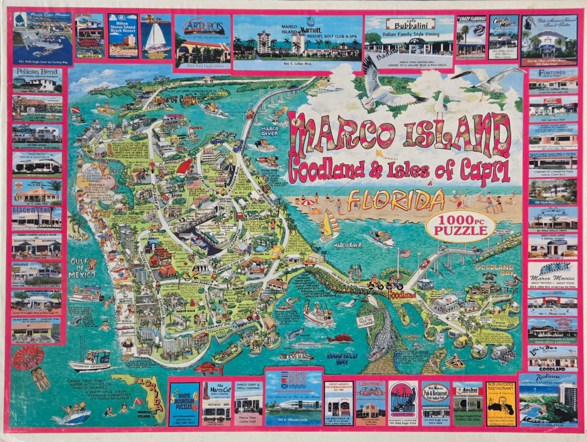
This pictorial map highlights the geographical area of Marco Island, Goodland, and the Isles of Capri in Florida. The central illustration is a whimsical, hand-drawn map featuring winding roads, bodies of water, and small stylized buildings representing local landmarks and residential zones. The map is set against a backdrop of turquoise water and sandy beaches, with various small figures enjoying recreational activities like boating, fishing, and parasailing.
The composition is framed by a collection of rectangular photographic vignettes arranged along the left, right, and top edges. These panels showcase specific local businesses, resorts, and restaurants, each identified with its own name and setting. The color palette is bright and inviting, characterized by the deep blues and greens of the coastal landscape contrasted with the warm, sandy tones of the beach and the vibrant pinks used for the borders and title text.
The artistic style is that of a tourist map, combining decorative cartography with colorful, folk-art-inspired illustrations. Labels and handwritten notes are scattered throughout the map area, providing information about local history, wildlife, and geography. Seagulls and fish are depicted in a playful manner, adding to the breezy, vacation-oriented mood of the artwork. The overall presentation is densely packed, providing a comprehensive visual guide to the region's amenities and natural beauty.


