Carta Náutica del Mundo 1725
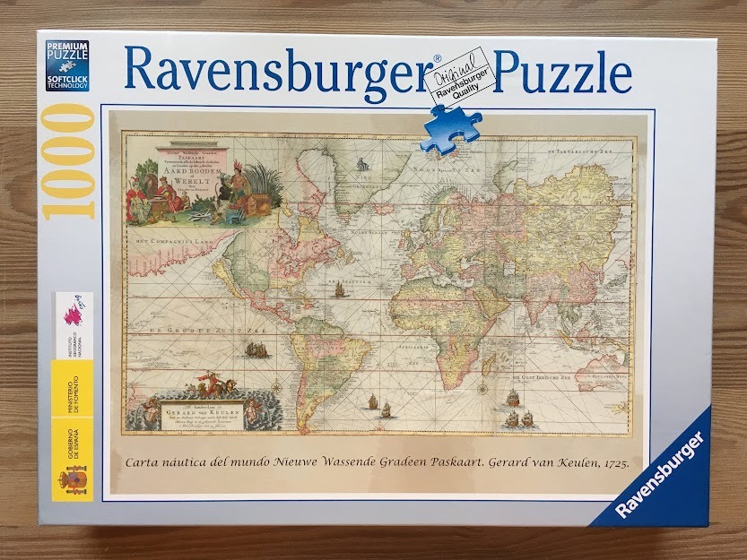
This image displays a reproduction of a 1725 antique nautical world map titled "Carta nautica del mundo Nieuwe Wassende Gradeen Paskaart" by Gerard van Keulen. The map features a classic grid of longitude and latitude lines overlaid across the continents. The continents themselves are rendered in muted, earthy tones of beige, soft yellow, and faded pink, set against a parchment-colored ocean background.
Two ornate cartouches decorate the corners of the map. The upper left corner features a detailed, hand-colored illustration of figures representing different regions, surrounded by tropical flora and classical motifs. The lower left corner contains the formal title and cartographer credit, framed by decorative engravings of mythological sea figures. The layout is expansive, capturing a historical perspective of the world with detailed coastlines and inland features typical of 18th-century maritime cartography.
Small, intricate illustrations of wooden sailing vessels are scattered across the vast oceans, emphasizing the nautical nature of the document. The overall aesthetic is one of aged authenticity, with a warm, sepia-toned palette that evokes the feeling of historical exploration. The fine linework and detailed lettering provide a sophisticated, scholarly atmosphere, making it a clear, educational representation of historical geography.
