United States of America
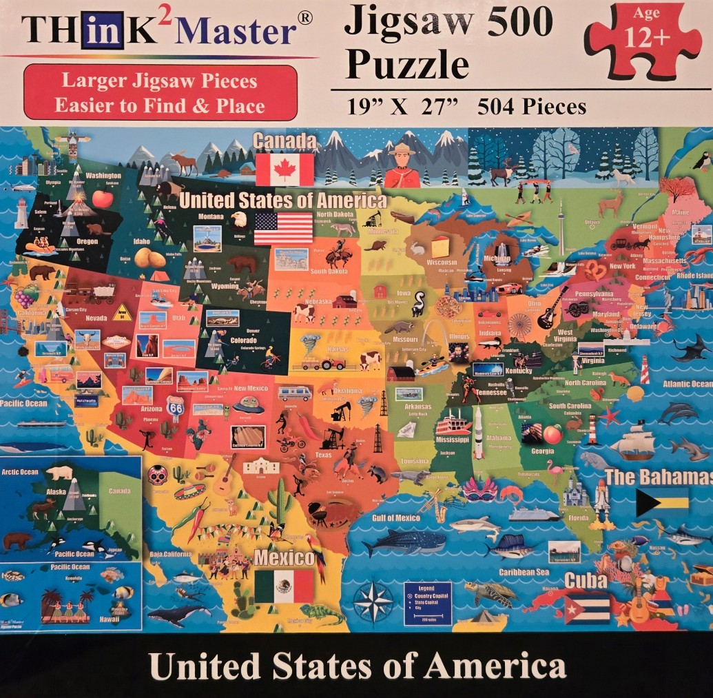
This illustrated map depicts the United States of America with states color-coded in varying shades of blue, green, yellow, orange, and red. Each state is populated with miniature, whimsical illustrations representing its local culture, landmarks, wildlife, and geography. For example, the West displays mountain ranges, bears, and cacti, while the Midwest features farming scenes and industrial icons, and the East Coast highlights urban landmarks and lighthouses.
The overall aesthetic is bright, playful, and educational, with clear labels for state names and major cities. The surrounding oceans are rendered in deep blue, showcasing marine life such as whales, dolphins, and sharks. The composition also includes inset maps for Alaska and Hawaii in the lower-left corner, and flags for the United States, Canada, Mexico, Cuba, and the Bahamas are positioned near their respective geographic locations.
The artistic style is flat, vector-like illustration, which maintains clarity despite the high density of small details. The color palette is vibrant and saturated, making the individual regional symbols pop against the state backgrounds. The borders of the map are defined by Canada to the north, Mexico to the south, and the Atlantic and Pacific oceans, creating a comprehensive and visually engaging cartographic display.