Lake George New York
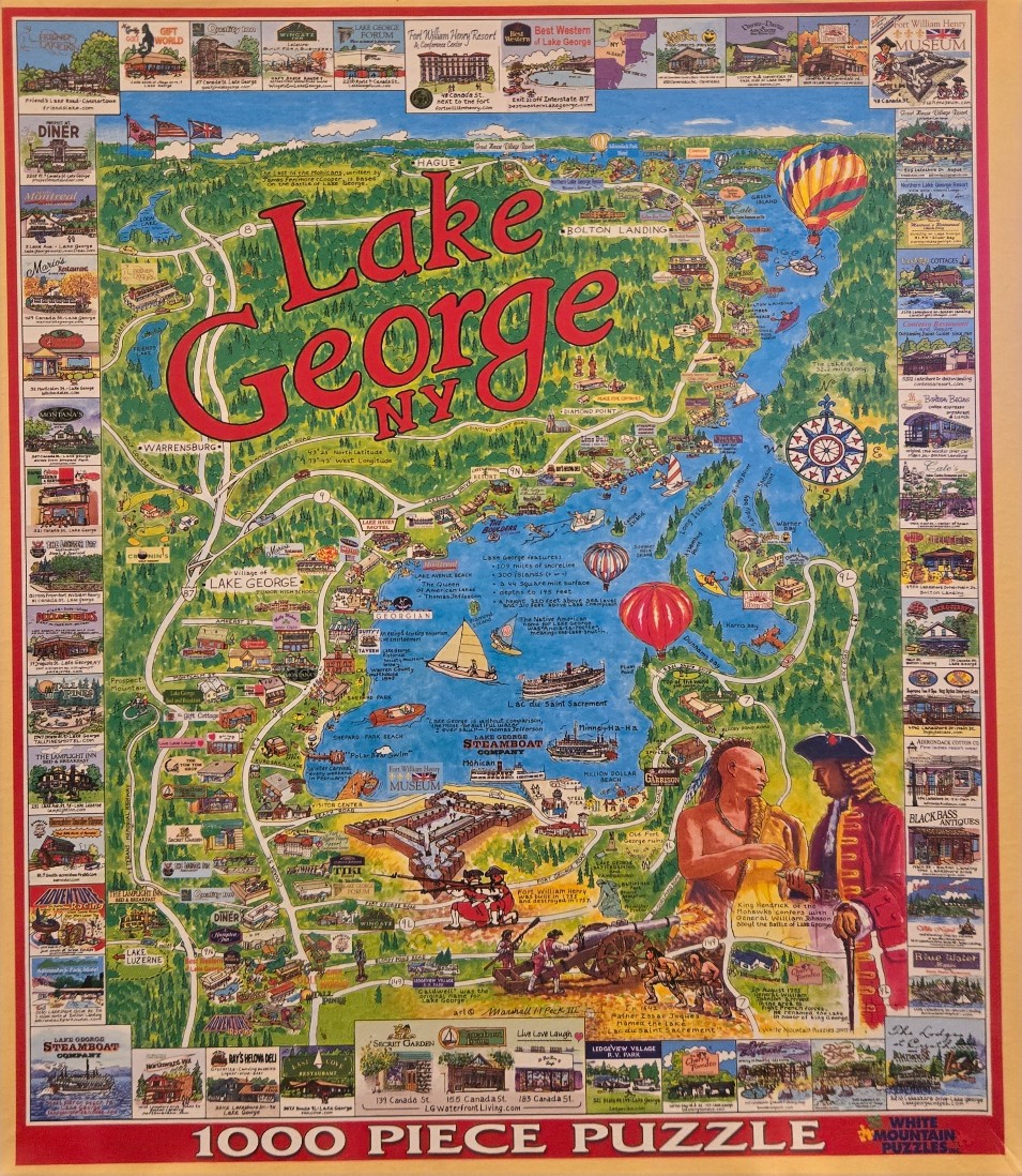
This highly detailed, hand-drawn pictorial map illustrates Lake George, New York, serving as a comprehensive regional guide. The central portion of the artwork is a vibrant blue body of water dotted with sailboats, kayaks, and colorful hot air balloons, set against a lush green landscape of rolling hills and dense forests. Prominent roads, highways, and labeled towns such as Hague, Bolton Landing, and Lake George village are interconnected across the scenery.
Large, bold, red script dominates the upper center of the map, declaring the location name. The composition is framed by a decorative border made up of numerous small, rectangular vignettes. These individual panels showcase various local businesses, restaurants, hotels, and historic sites, each identified with its specific location text. The artwork carries an informational tone, blending geography with historical facts and descriptions of the local area.
In the bottom right corner, a classic illustration depicts two significant historical figures: a Native American man and an 18th-century European military officer, standing near a period-style cannon. Their presence adds a narrative layer to the map, referencing the region's colonial history. The overall style is reminiscent of a vintage souvenir map, using bright, cheerful colors and varied artistic techniques to emphasize landmarks, tourism, and regional identity.

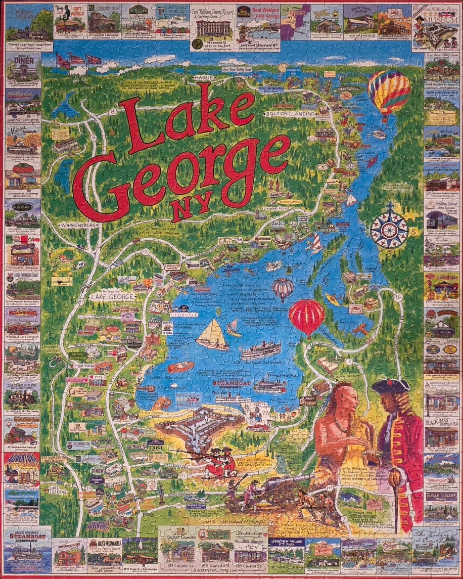
This illustrative map depicts the geography of Lake George, New York, with the large, red, stylized text "Lake George NY" centered near the top. The map shows the winding blue body of water surrounded by dense green forests and winding roads, dotted with small icons representing local landmarks, boats, and hot air balloons. A large compass rose sits on the eastern shore of the lake. The bottom right corner features an illustration of a Native American man and an 18th-century British soldier standing near a historical fort scene, referencing the area's colonial military history.
The entire map is framed by a decorative border composed of dozens of small, rectangular vignettes. Each vignette showcases a different local business, restaurant, hotel, or historical site, each labeled with its name. These individual images create a collage-like effect that provides context for the vacation destination.
The colour palette is vibrant, utilizing deep blues for the water, lush greens for the surrounding mountains and forests, and bright pops of colour in the hot air balloons and the red lettering of the title. The style is that of a folk-art-inspired travel map, prioritizing character and detail over strict cartographic accuracy. The atmosphere is cheerful and nostalgic, highlighting the area as a bustling recreational and historical hub.
by Jim Poleshuk 2026-05-20
