Historic Charleston
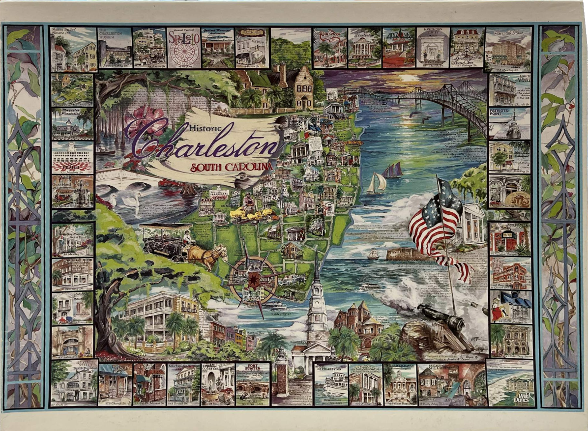
This highly detailed illustrated map of Charleston, South Carolina, presents a central coastal scene framed by a grid of smaller, individual vignettes depicting historic local landmarks. The map itself showcases iconic imagery, including a horse-drawn carriage, the Cooper River spanned by a bridge, a sailboat, a prominent church steeple, and an American flag flying near a historic cannon. The map is overlaid with subtle, translucent text and a compass rose, all set against a lush, green landscape meeting blue waterways.
The entire central map is bordered by a series of framed rectangular illustrations. These smaller boxes showcase various historic inns, museums, restaurants, and plantation homes located throughout the city, providing a comprehensive tour of local attractions. The side borders are adorned with stylized, iron-work-inspired floral motifs in muted purples and greens, which anchor the design.
The color palette is vibrant yet maintains a classic, historical aesthetic, utilizing rich greens for foliage, deep blues and teals for the water, and warm earth tones for the architecture. The lighting suggests a soft, late afternoon glow near the bridge, casting a warm hue over the river. The artwork is executed in a detailed illustrative style reminiscent of a vintage souvenir map, blending realistic architectural renderings with decorative artistic flourishes and a clear, elegant script titling the work at the top center.




