World Map
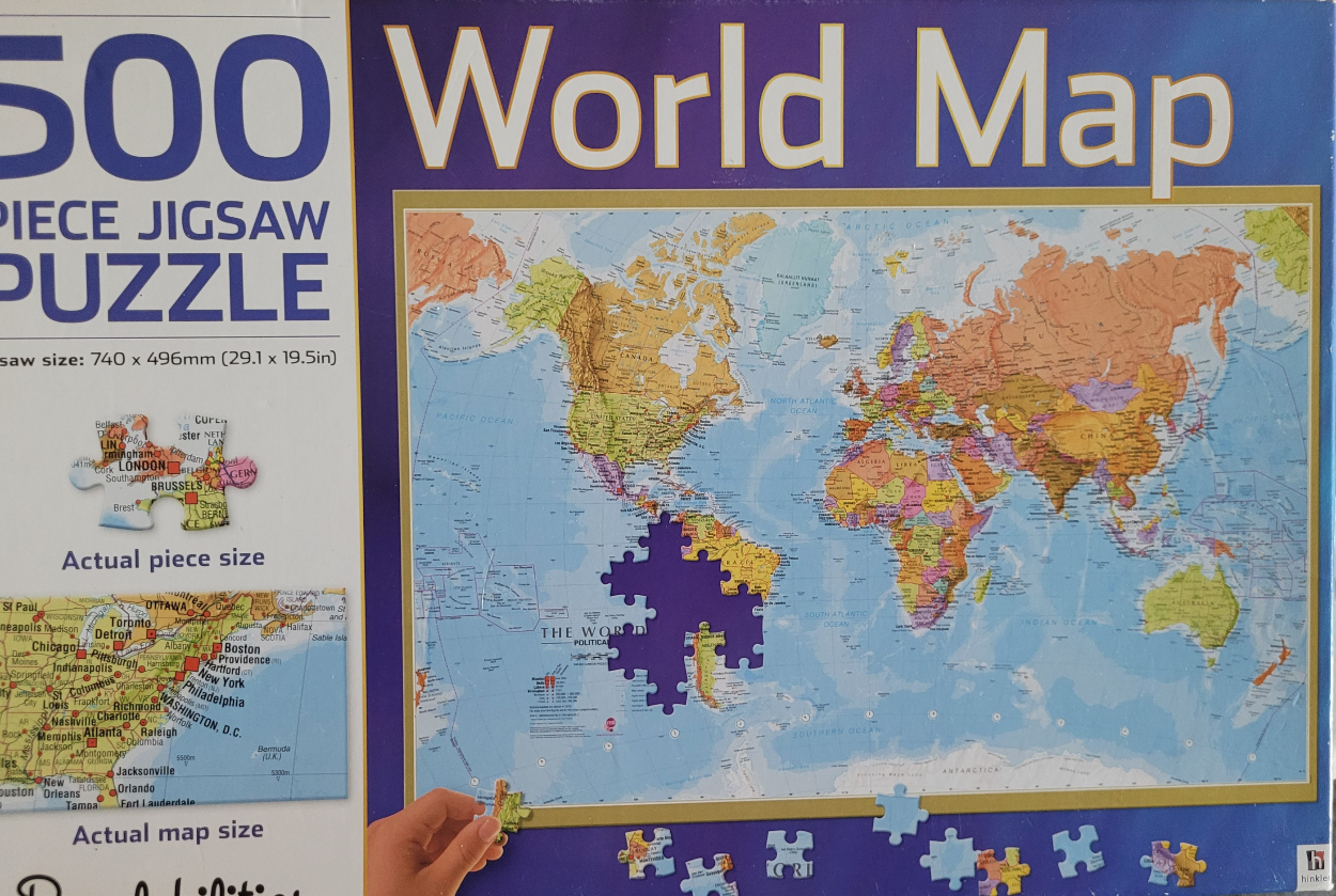
The central image is a detailed, multi-colored political world map presented in a standard projection. The landmasses are rendered in varied shades of orange, yellow, green, and light purple, contrasting clearly against a pale blue ocean background. The map features labels for continents, major countries, and oceans, providing a traditional geographic reference.
A notable visual feature is the absence of a large, jagged puzzle-shaped cutout in the middle of the Atlantic Ocean, leaving a solid dark blue void where South America meets the ocean. Below the main map, several loose jigsaw pieces are scattered, some showing fragments of land and text, while a human hand is visible in the bottom left corner holding one of these loose pieces, suggesting active assembly.
The overall aesthetic is clean, educational, and illustrative. The colors are muted and matte, typical of a cartographic reference. The composition is centered and balanced, though the inclusion of the puzzle pieces and the hand introduces a dynamic, interactive element to the static map. Light, thin grid lines overlay the oceans, adding subtle texture and scientific depth to the representation.
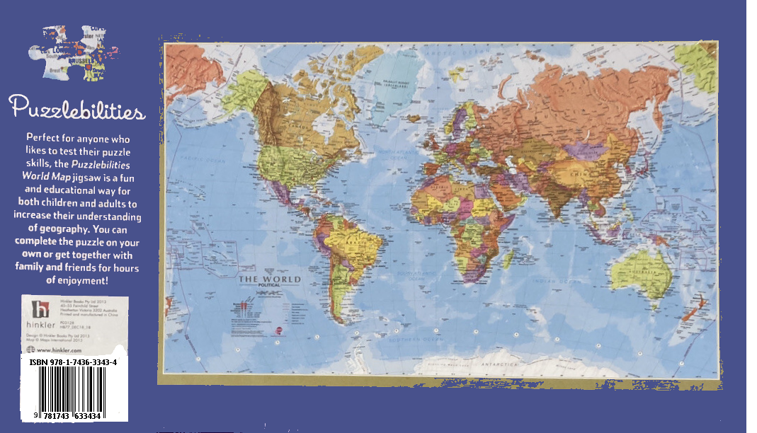
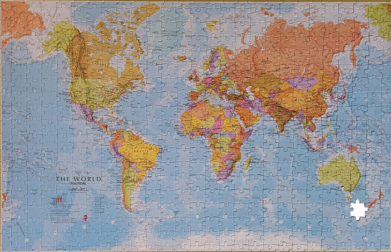
This political world map displays the continents of the Earth in a soft, muted color palette. Each country is individually colored in shades of orange, yellow, green, pink, and purple, allowing for clear visual distinction between borders. The landmasses appear centered against an expansive, pale blue ocean, creating a clean and informative layout. The map uses a standard projection that encompasses the entire globe, from the Arctic regions at the top to Antarctica at the bottom.
Textual labels for major countries, capital cities, and prominent geographic features like mountain ranges and deserts are printed in clear, small black type across the land. The oceans are labeled with their respective names—Pacific, Atlantic, Indian, and Southern—in a subtle, uppercase font. In the lower-left corner, a legend titled "THE WORLD POLITICAL" provides context for the map's scale and symbol conventions, including markers for population density.
The overall aesthetic is that of a traditional cartographic reference tool, presented with a clean, educational focus. The colors are matte and gentle, avoiding high-contrast saturation to maintain readability. The illumination is even across the entire surface, suggesting a standard professional print. Aside from the geographical data, a single small, white, empty void is present in the southeastern corner near the islands of New Zealand, contrasting with the detailed map content.
