Atlantis Center of the Ancient World
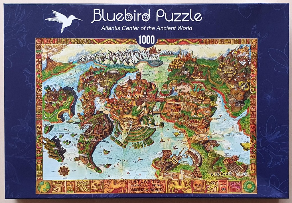
This illustration presents a whimsical, hand-drawn map of the mythical continent of Atlantis at its center, surrounded by various legendary and ancient regions. Atlantis is depicted with circular canals, grand temples, and dense greenery. To its west lies the Land of the Mayas with mountainous peaks and jungle terrain, while to the east, regions representing Egypt, Thebes, and Africus feature iconic architectural styles like pyramids and stone carvings. Further north, the landscape shifts to include snow-capped mountains and castle-like structures.
The composition is framed by a decorative, golden-brown border filled with intricate, repeating Mayan-inspired motifs, skulls, and mythological creatures. A pale blue, textured ocean fills the negative space, dotted with tiny ships and sea monsters. Labels in delicate, capitalized text identify the various locations, such as "The Outer Sea," "The Inner Sea," and specific historical or fantastical lands.
The color palette is vibrant and varied, utilizing warm earth tones for the landmasses—ochres, burnt oranges, and rich greens—which contrast with the light, watery blues of the surrounding oceans. The illustration style is reminiscent of a classic storybook or cartographic fantasy piece, featuring fine ink lines and watercolor-like shading. The overall mood is one of adventurous exploration and mythological mystery, combining ancient aesthetics with an imaginative, high-fantasy cartographic layout.

This highly detailed, hand-drawn illustration depicts a whimsical, mythological world map. At the center lies the great circular city of Atlantis, surrounded by a series of landmasses including Thebes, Egyptis, and the Land of the Mayas. The geography is peppered with legendary locations like Shangri-La, Camelot, and the North Lands, each drawn with unique architectural flair. A vast network of oceans connects these realms, dotted with small ships and sea creatures.
The artistic style is reminiscent of vintage adventure maps, utilizing earthy tones of moss green, golden ochre, and deep brown, balanced against the pale blue of the surrounding seas. The top edge is anchored by rugged, snowy mountain ranges, while the bottom of the map features a distinct decorative border comprised of repeating motifs including skulls, ancient artifacts, and zoomorphic carvings. The entire composition is labeled with thin, hand-lettered text that identifies various regions, bodies of water, and specific historical or mythological sites.
The overall mood is one of exploration and curiosity, suggesting a world built on folklore and ancient legend. The illustration uses varied line work to differentiate between the dense, forested areas, the high-altitude peaks, and the sprawling metropolitan centers. Fine details, such as compass roses, latitude markings, and small inset drawings, fill the spaces between the major landmasses, giving the entire piece a dense, informative, and adventurous character.
