United Kingdom & Republic of Ireland Map
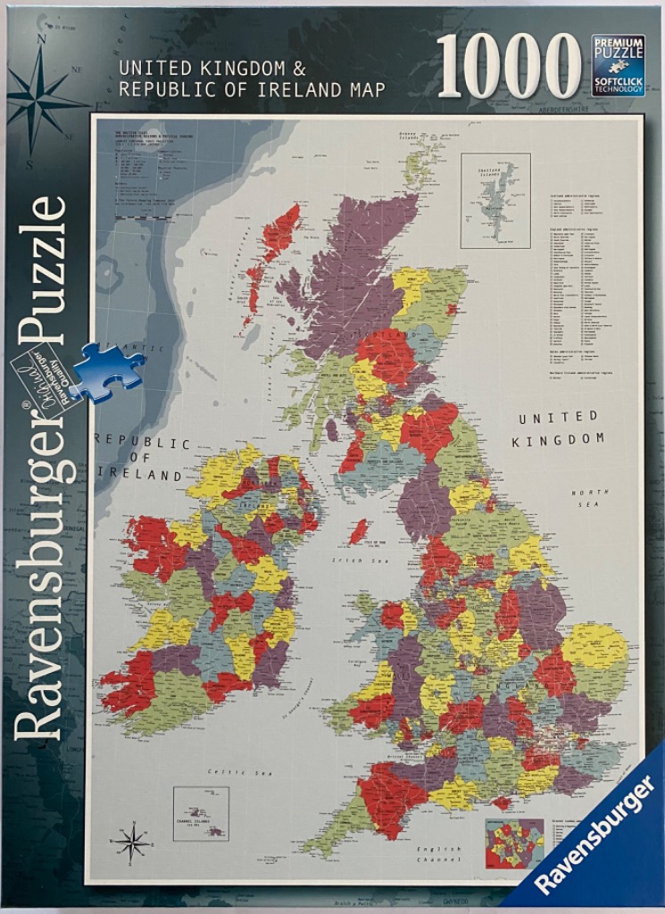
This illustration depicts an administrative and physical map of the United Kingdom and the Republic of Ireland. The landmasses are divided into various counties or districts, each shaded in a muted palette of red, yellow, olive green, and dark purple. The surrounding ocean areas are rendered in a soft, light gray, providing a clean contrast that emphasizes the intricate borders and coastal outlines of the British Isles.
The composition is presented in a classic cartographic style with various labeling elements. A prominent compass rose is located in the upper left corner, while smaller inset maps appear in the top right and bottom corners, detailing specific regions like the Channel Islands and an enlarged view of the Greater London area. Text labels for major bodies of water, such as the Irish Sea, the North Sea, and the English Channel, are clearly marked in a clean, sans-serif typeface.
The overall aesthetic is academic and informative, designed with the precision of a professional reference map. The color scheme is functional, helping to visually distinguish between the various administrative subdivisions while maintaining a professional and neutral tone. Fine lines indicate roads or territorial boundaries, and small text labels provide geographic detail across the entire expanse of the islands, making the image highly dense with information.

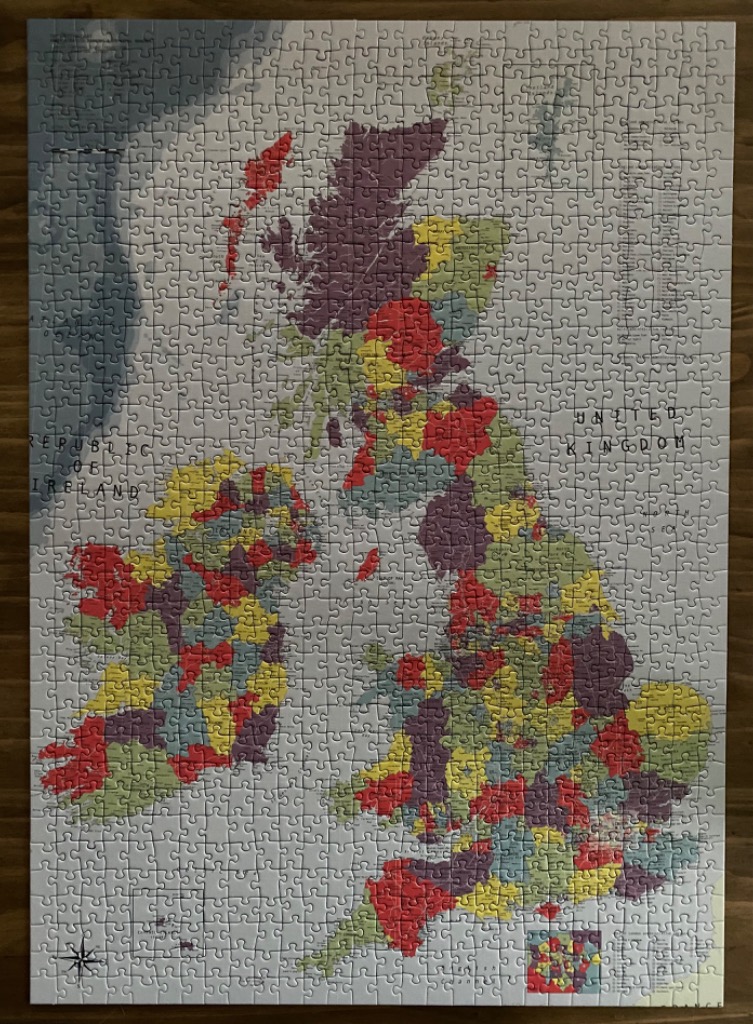
This image features a detailed political map of the British Isles, including the United Kingdom and the Republic of Ireland. The map is presented in an antique, cartographic style, set against a pale, off-white background that represents the surrounding seas. The landmasses are divided into distinct administrative regions, each color-coded in a muted palette of dusty red, deep purple, muted yellow, and sage green.
The composition is vertically oriented, showing the entirety of Great Britain and Ireland. Fine black lines demarcate the various counties or districts, with minimal text indicating major geographical names such as the United Kingdom and the Republic of Ireland. A decorative compass rose is tucked into the bottom left corner, adding to the classic, navigational aesthetic of the map.
The overall mood is academic and vintage, reminiscent of an old classroom wall map or an atlas from the mid-twentieth century. The colors are soft rather than vibrant, contributing to a sense of historical authority. Smaller inset maps and technical legends are placed in the corners, providing additional cartographic details that complete the scholarly look of this illustration.
