Sanibel & Captiva Islands Florida
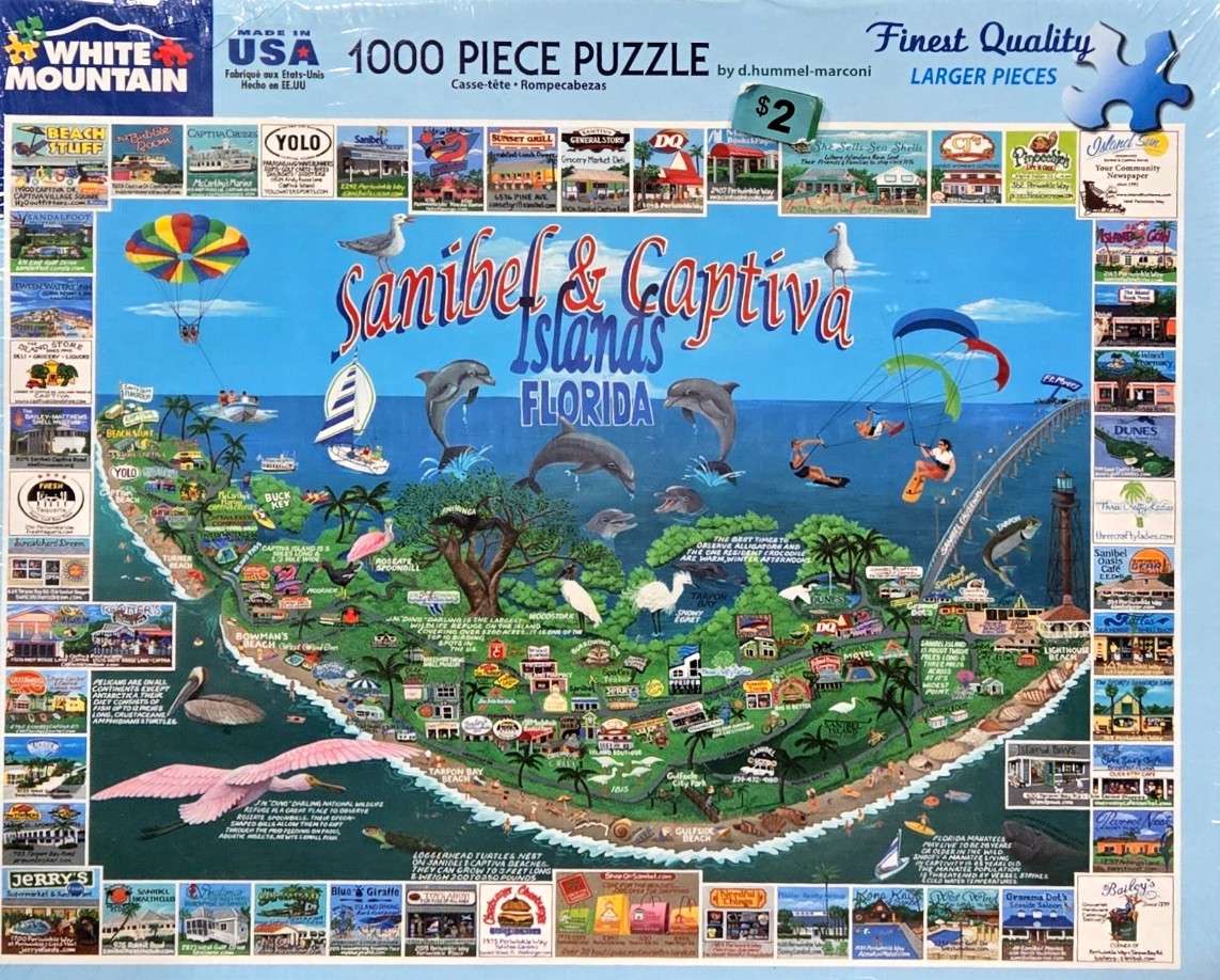
This whimsical, stylized map illustration depicts the islands of Sanibel and Captiva, Florida. The central focus is a lush, green landmass surrounded by a bright blue sea. Above the islands, the title "Sanibel & Captiva Islands FLORIDA" is written in large, playful lettering. The scene is densely packed with miniature illustrations of local wildlife, including jumping dolphins, a large roseate spoonbill in mid-flight, a snowy egret, a wood stork, and various seabirds.
The composition is a collage-style map that highlights popular recreational activities and tourist spots. Above the water, parasailers are shown in the sky, and a sailboat glides along the coast. A long bridge stretches toward the mainland on the right, punctuated by a tall, dark lighthouse. Throughout the map, tiny drawings of buildings, beaches, and nature signs provide geographical context. The perimeter of the image is framed by a collection of numerous small, rectangular photographs showcasing various local businesses, restaurants, and shops found on the islands.
The artwork uses a bright, saturated color palette, dominated by the deep blues of the ocean and the vivid greens of the island vegetation. The style is illustrative and travel-oriented, designed to evoke a sunny, vacation atmosphere. The light is bright and even, casting a cheerful mood over the entire map. The overall aesthetic is that of a souvenir poster or a custom pictorial map, blending detailed geographic features with decorative, artistic representations of island life.

