Mediterranean Sea, 1664
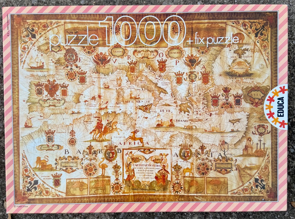
This illustration depicts a vintage, antiquarian-style map centered on the Mediterranean Sea, encompassing parts of Europe, North Africa, and the Middle East. The composition is heavily detailed, featuring period-accurate geographical outlines interspersed with intricate artistic elements. The map is overlaid with a network of rhumb lines common to historic maritime charts, creating a sense of navigational history.
Deep, warm sepia and parchment tones dominate the palette, giving the entire scene an aged appearance. The visual landscape is richly decorated with heraldic shields, ornate cartouches, and illustrations of ships sailing the open waters. Smaller vignettes of wildlife, such as a lion and an ostrich, are placed strategically within the landmasses, while riders on horseback and mythical figures add a narrative, storybook quality to the geography.
A central decorative cartouche stands out with its intricate scrollwork and figures, labeling the chart as a "Carte Particuliere." The typography is elegant and formal, written in a serif font reminiscent of 17th or 18th-century cartography. Every corner is filled with symbolic designs, including wind roses or compass needles, which provide a sense of exploration and classic maritime adventure. The overall aesthetic is one of old-world scholarship and decorative historical art.
