The Melbourne Map
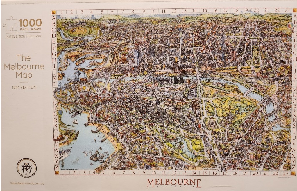
This artwork is a highly detailed, hand-drawn aerial illustration of Melbourne, Australia, captured from a high vantage point to display the sprawling urban landscape. The city is meticulously rendered, showing streets, buildings, parklands, and the winding path of the Yarra River as it flows toward the bay. The composition is framed by a traditional map grid, with numbers 1 through 23 along the top and bottom, and letters A through Z running down the left and right sides, allowing for specific location identification.
The illustration style is reminiscent of classic cartographic sketches, using fine ink lines with watercolor-style washes. The color palette relies on warm, earthy tones for the built-up urban sections—ochres, tans, and browns—which contrast with the vibrant greens of the parks and gardens, and the pale, cool blue of the river and the coastal bay. The sunlight appears to come from the side, casting soft shadows that give depth to the high-rise buildings and suburban streets.
Key landmarks are identifiable throughout the dense scene, showcasing a snapshot of the city's architecture and geography. The inclusion of small boats in the water, ships at the docks, and minute textures representing trees and urban greenery adds a sense of life to the static map. The entire image serves as both a functional, if artistic, navigation tool and a celebration of urban planning and local landscape design.
