MyPuzzle Amsterdam
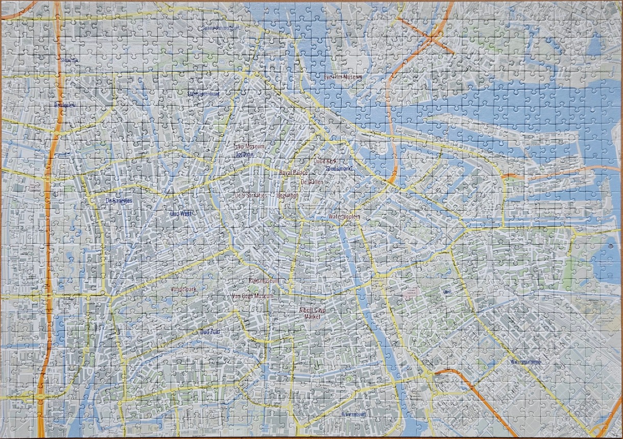
This image displays a detailed street map of Amsterdam, centered on the historic canal ring. The composition features a dense web of grey city blocks, intricate white canal lines, and major transport arteries highlighted in bright yellow and orange. The layout clearly delineates various districts and the iconic semi-circular configuration of the city center, extending out to the waterways in the north and the residential areas to the south and east.
Key landmarks are identified with legible labels placed throughout the map, including the Rijksmuseum, Van Gogh Museum, Vondelpark, the Royal Palace, and the Albert Cuyp Market. The Oude Kerk and the central station area are also clearly marked, providing orientation to the city's geography. The map utilizes a soft, muted colour palette consisting primarily of light greys, whites, and pale blues for the water features, which contrasts sharply against the bold, warm lines representing major roads and highways.
The overall aesthetic is that of a modern, clean cartographic illustration designed for urban navigation. There is no sense of depth or shadow, as the map is rendered in a strictly top-down, two-dimensional format. The clarity of the text and the systematic organisation of the streets make the map appear highly functional, providing a comprehensive overview of Amsterdam’s complex urban design and iconic water-based layout.
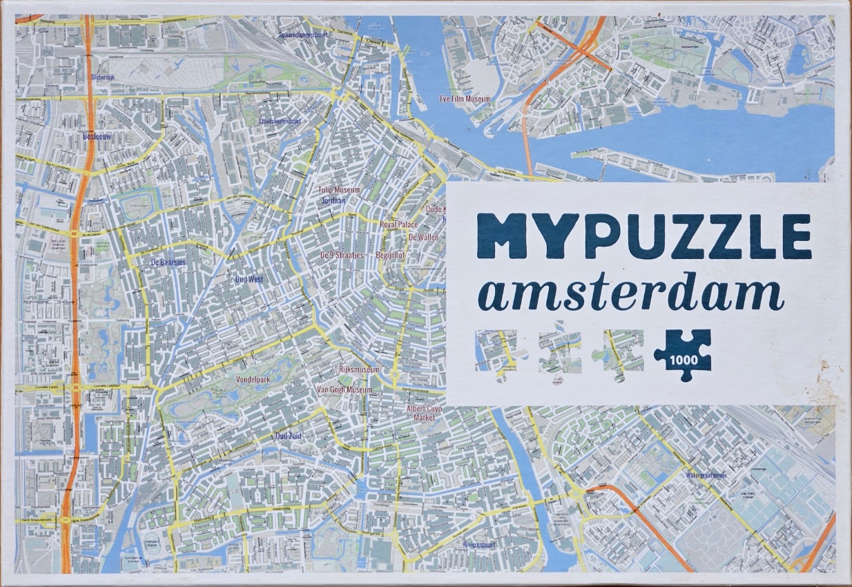
This overhead map of Amsterdam presents a detailed urban layout, showcasing a dense network of streets, residential blocks, and the iconic canal rings. The composition is a flat, cartographic representation, viewing the city from a bird's-eye perspective. Major landmarks are clearly labeled, including the Rijksmuseum, Van Gogh Museum, Vondelpark, and the Royal Palace, integrated directly into the street grid.
The colour palette is soft and neutral, dominated by shades of light grey, white, and pale blue, which highlight the water features of the canals and the harbor. Vibrant orange lines trace the major arterial highways and ring roads, creating a strong visual contrast against the cooler tones of the urban fabric. The lines representing the streets are clean and thin, emphasizing the intricate, historic layout of the city center.
The overall aesthetic is clean and functional, similar to a contemporary city planning map or digital navigation interface. A large, rectangular white block dominates the right-middle portion of the map, containing bold text that reads "MYPUZZLE amsterdam" alongside a graphic of four puzzle pieces. This overlay obstructs part of the map, grounding the image in its identity as a geographical representation intended for assembly.
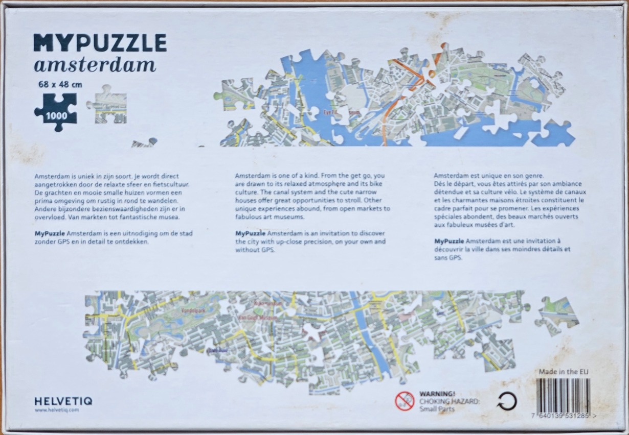
The main artwork features an aerial map of Amsterdam, segmented into two distinct, irregular horizontal strips of puzzle pieces set against a stark white background. The upper strip displays the northern urban layout, including waterways and densely packed city blocks, while the lower strip illustrates the central and southern districts, featuring prominent green spaces such as the Vondelpark and the area surrounding major museums.
The style is that of a modern, clean digital cartographic map. The colour palette is soft and muted, dominated by shades of grey, pale blue for the waterways, and muted greens for parks and foliage. Bright yellow lines indicate major thoroughfares, creating a network of paths that contrast against the grey grid of the city infrastructure. The overall composition is abstract and fragmented, emphasizing the interconnected nature of urban planning.
The artwork appears as a high-resolution, professional digital illustration. The deliberate use of negative space around the two map strips creates a sense of openness, allowing the viewer to focus on the intricate, interconnected details of the street layouts. The white background emphasizes the technical clarity of the map, giving it a minimalist and clinical aesthetic that highlights the complexity of the city's geography.
by Squacco 2026-01-30
