Orbis Terrarum
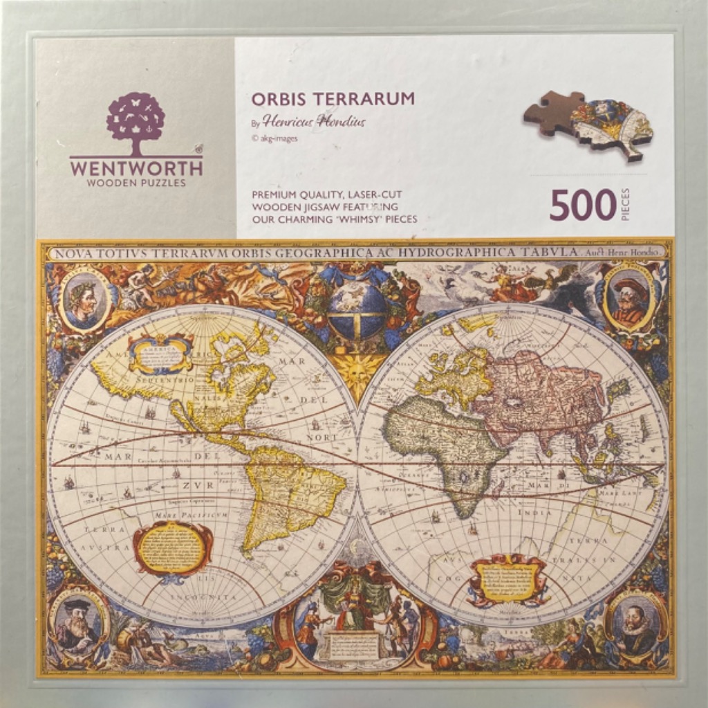
This antique-style world map, titled "Orbis Terrarum" by Henricus Hondius, features two large, circular hemispheres depicting the globe. The western hemisphere shows the Americas, while the eastern hemisphere displays Europe, Africa, Asia, and part of Australia. The landmasses are rendered in a warm, muted yellow, while the oceans are an off-white, crisscrossed by lines of latitude and longitude. The map includes archaic Latin text, delineating historical boundaries and bodies of water.
The composition is densely packed with elaborate, decorative border illustrations. Centered at the top between the two globes is a celestial sphere surrounded by mythical figures and heraldry. Each corner of the map features a circular portrait of a historical figure, likely explorers or prominent cartographers of the era. The space between the globes and the decorative frame is filled with allegorical scenes, draped fabrics, and intricate flora and fauna, characteristic of Dutch Golden Age cartography.
The colour palette is dominated by sepia, ochre, muted reds, and blues, giving the image the authentic look of a centuries-old printed engraving. The style is highly detailed and illustrative, capturing the romanticized scientific approach of 17th-century mapmakers. The overall mood is scholarly and historic, presenting a visual record of geographical knowledge from a bygone era, complete with artistic embellishments that emphasize the grandeur of world exploration.
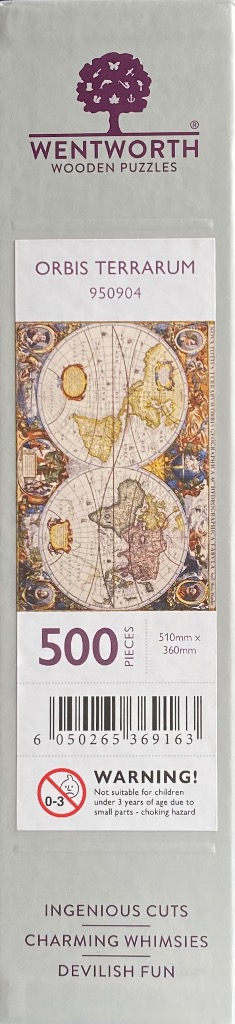

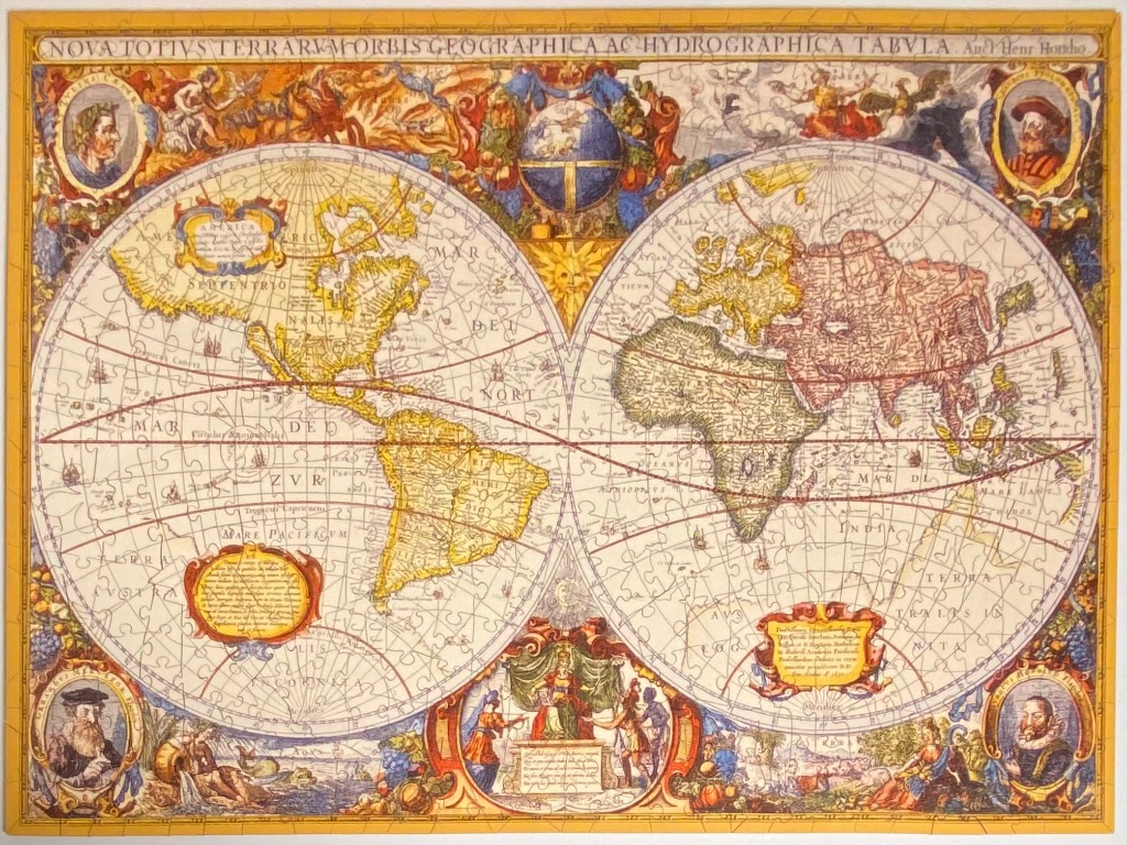
This image presents a 17th-century style double-hemisphere world map, titled across the top in Latin as "NOVA TOTIVS TERRARVM ORBIS GEOGRAPHICA AC HYDROGRAPHICA TABVLA." The map is divided into two large circles representing the Eastern and Western hemispheres, set against a parchment-toned background with longitude and latitude grid lines. The landmasses are rendered in muted shades of yellow, tan, and faded red, while the vast oceans are pale, empty expanses crossed by faint rhumb lines and decorative sea currents.
The space surrounding the two central hemispheres is densely packed with elaborate, hand-coloured illustrations. In the corners, four circular portraits depict historical figures in period clothing. Between the hemispheres, top and bottom, are ornate cartouches, celestial globes, and allegorical scenes showing people in classical garments and mythological imagery. The borders are decorated with clusters of fruit, vines, and figures representing the elements and seasons.
The overall aesthetic is that of an aged, historical document, featuring a warm, sepia-toned colour palette with accents of blue, red, and gold. The style is that of a copperplate engraving, characterized by fine line work, intricate calligraphy, and a decorative, symmetrical composition. The text throughout the map is in Latin, written in elegant script and block capitals, adding to the scholarly and antique feel of the illustration.
