United States Map
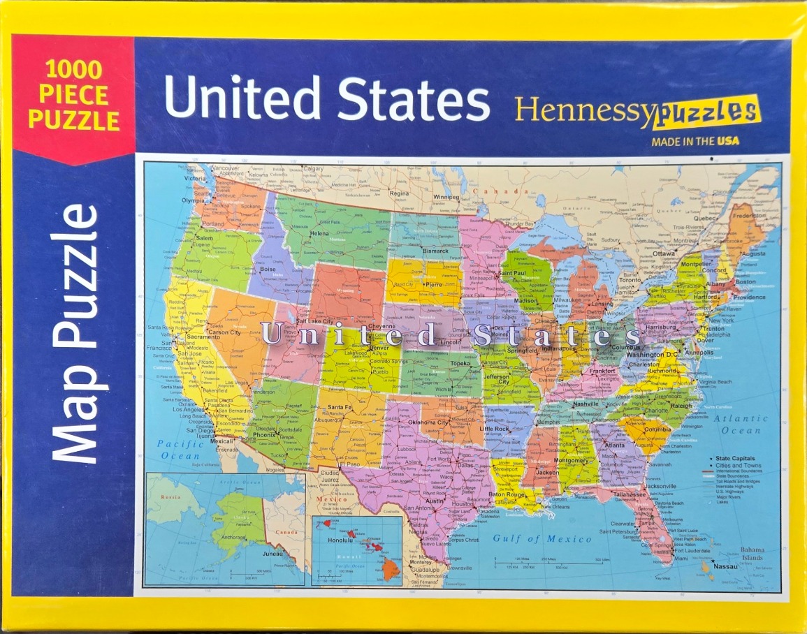
This image features a detailed political map of the United States, designed as a classic educational reference chart. The map displays the contiguous United States with each state shaded in a distinct pastel color—including soft yellows, greens, pinks, and oranges—to clearly delineate their borders. Small inset maps are included in the bottom left corner to display Alaska and Hawaii, providing a comprehensive view of the entire country.
Technically a cartographic illustration, the map is rich with topographical and civic information. It identifies major cities, state capitals, and interstate highways, along with blue-toned representations of oceans, the Gulf of Mexico, and neighboring Canadian and Mexican territories. The Pacific Ocean, Atlantic Ocean, and the Gulf of Mexico are labeled clearly, anchoring the country within its geographical context.
The overall aesthetic is clean and functional, utilizing a high-contrast white background that makes the colorful state divisions pop. Bold, sans-serif typography labels the country across the center of the landmass, while smaller, legible text covers the vast network of roads and municipal locations. The composition is strictly structured, maintaining a traditional north-up orientation that favors clarity and educational accessibility.