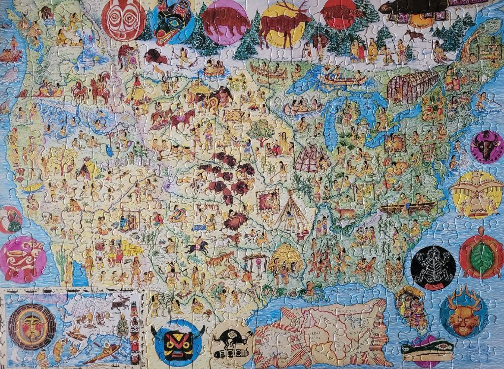
This highly detailed, folk-art style illustration depicts the United States and parts of Canada and Mexico as a cultural map. The central focus is the geography of North America, densely populated with small, hand-drawn vignettes representing various indigenous groups, their traditional dwellings, cultural activities, and local wildlife. From tipis and longhouses to figures engaged in hunting, fishing, and ceremonial practices, the map serves as a historical and cultural tapestry illustrating the diversity of the continent's original inhabitants.
The composition is busy and educational, with the landmass rendered in soft, parchment-like beige tones. Surrounding the map are various circular insets featuring vibrant, stylized cultural motifs, animal totems, and masks, which add a decorative border. The oceans are represented by a muted blue, while the top of the map features a line of green, stylized coniferous trees.
The colour palette is earthy and warm, utilizing ochres, muted reds, forest greens, and deep browns, punctuated by the brighter blues of the water. The artistic style is reminiscent of mid-20th-century historical textbooks or ethnographic illustrations, characterized by clear outlines and expressive, simplistic figures. The overall mood is informative and appreciative of cultural heritage, presented in a style that emphasizes storytelling and historical documentation.