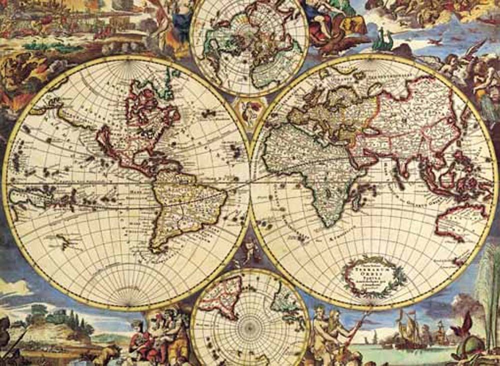
This illustration depicts an ornate, antique-style world map designed with classical cartographic techniques. The composition is dominated by two large circular hemispheres, positioned side-by-side, representing the Western and Eastern worlds. Above and below these primary spheres are two smaller, circular polar projections, creating a balanced, symmetrical layout. The landmasses are detailed with archaic coastlines and labels, surrounded by a complex grid of latitude and longitude lines that give the image a historical, scholarly feel.
The aesthetic is rich with warm, sepia-toned parchment hues against deep, earthy colors. Surrounding the cartography are whimsical, allegorical illustrations in the corners and margins. These include figures representing various mythologies and seasons, along with depictions of ships sailing on stylized waves. These decorative embellishments fill the negative space around the spheres, framing the globes in a dense, artistic tapestry.
The overall mood is one of discovery and enlightenment from the Age of Exploration. The illustration style mimics hand-colored engravings from centuries past, with intricate line work and a limited palette of reds, blues, and golds. Subtle shadows and detailed stippling provide depth to the landmasses, while the decorative borders evoke a sense of grandeur and antiquity, reflecting a period where mapmaking was as much an art form as it was a scientific endeavor.