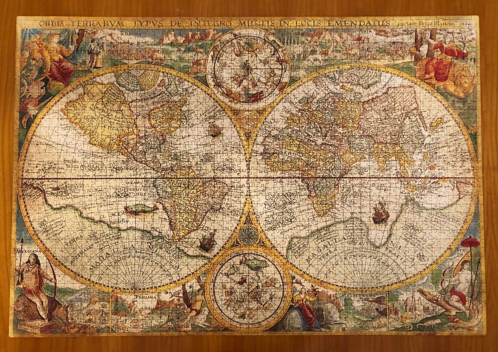
This vintage-style illustration depicts a 16th-century world map arranged in a dual-hemisphere projection. The two primary circular globes dominate the center, showing continents like the Americas, Europe, Africa, and Asia as they were understood during the Renaissance. Two smaller, circular celestial diagrams are positioned between the hemispheres at the top and bottom, featuring intricate constellations and astronomical details. The map is framed by decorative borders filled with illustrations of ships sailing the oceans and various creatures or mythical figures.
The overall aesthetic is that of an aged parchment, characterized by a palette of warm, muted earth tones, including ochre, sepia, faded greens, and deep reds. The text is written in elegant, flowing calligraphy that labels the continents, oceans, and specific regions, adding to the historic feel. Detailed illustrations of indigenous figures in traditional attire are tucked into the lower corners, while ornate symbolic figures appear in the upper corners, lending the piece a cartographic and classical artistic quality.
The layout is dense and ornate, filled with tiny details that reward close inspection. Lines of latitude and longitude crisscross the globes, and decorative flourishes adorn the empty spaces of the oceans. The composition balances geographical accuracy according to its era with the decorative flourishes common to historical mapmaking, evoking a sense of exploration and the Age of Discovery.