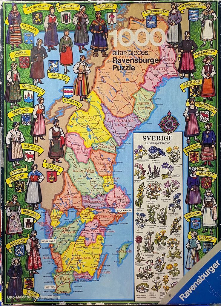
This illustration features a detailed political map of Sweden, segmented by its various provinces, each colored in soft pastel shades of yellow, pink, green, and blue. The map is overlaid with geographical text, cities, and borders, set against a background of deep blue ocean. Centered in the lower right, a rectangular chart titled "SVERIGE Landskapsblommor" displays a variety of botanical illustrations of regional flowers, labeled with their names and locations.
The central map is framed by a vertical border populated with twenty-four individual illustrations of people dressed in traditional Swedish regional costumes. Each figure is paired with the specific provincial name and a small, colorful heraldic shield representing that area. The figures exhibit diverse clothing styles, including aprons, hats, and patterned skirts, reflecting the distinct heritage of each province. The artistic style is reminiscent of a vintage educational or tourist map from the mid-20th century, utilizing clear, illustrative lines and a muted, earthy color palette.
The overall composition is highly symmetrical, with the figures acting as a frame for the central geographic information. The background features intricate scrolling green vine motifs in the corners, adding a traditional, folk-art decorative element to the presentation. The work combines elements of cartography, costume study, and botanical illustration to provide a comprehensive visual representation of Sweden’s cultural and natural landscape.