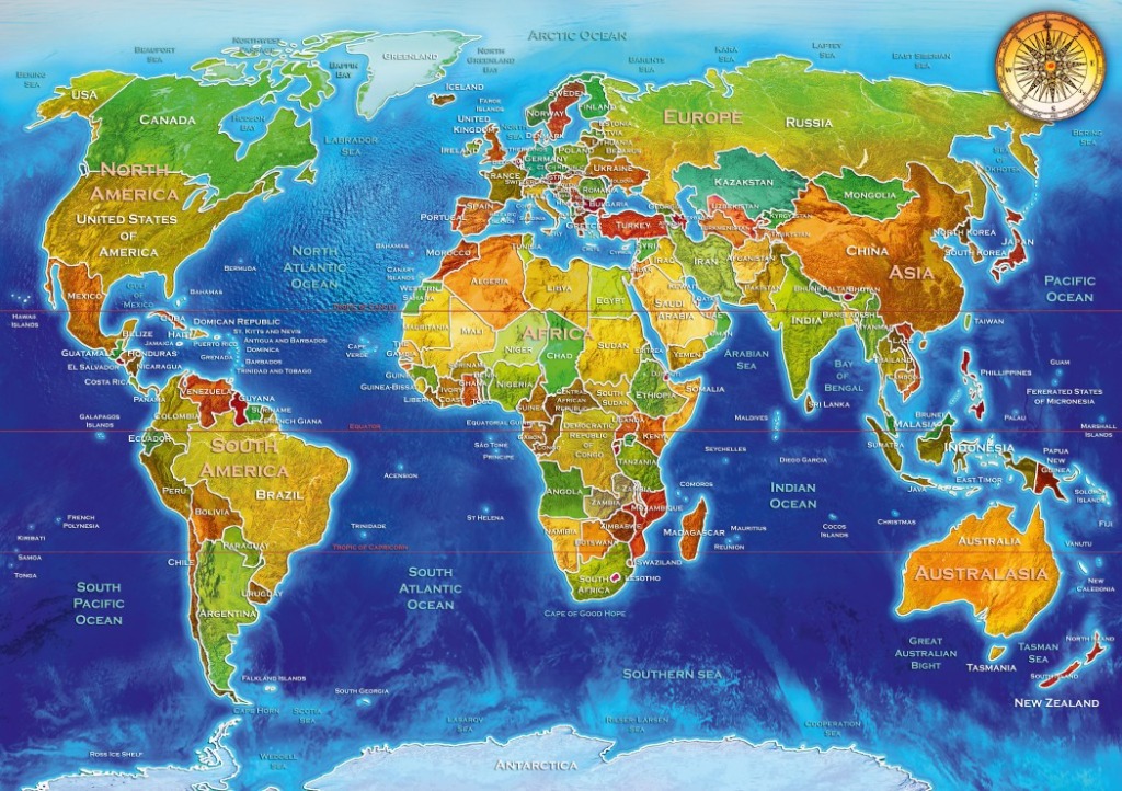
A detailed political world map serves as the central subject, rendered in vibrant, earthy tones of green, yellow, orange, and red to distinguish the various continents and nations. The landmasses feature subtle topographical shading, giving the terrain a slight sense of relief against the deeper blues of the surrounding oceans. Clear white text labels name the continents, oceans, and individual countries, with the Equator and Tropics marked by thin red horizontal lines.
The layout follows a standard Mercator projection, centering the Atlantic Ocean and stretching horizontally from the Americas in the west to Australia and Asia in the east. The composition is balanced and educational in nature, with the bright colors of the land contrasting sharply against the gradients of the deep blue sea. At the top right, a classic compass rose, illustrated with an intricate, vintage-style star pattern, adds a navigational element to the scene.
The aesthetic is clean and bright, utilizing a digital illustration style that emphasizes clarity and legibility. Light blue, icy white tones populate the extreme northern and southern regions, representing the Arctic and Antarctica, respectively. The overall mood is informative and academic, presenting a global view that is both visually engaging and geometrically precise.