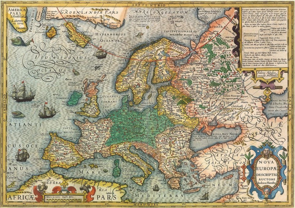
This highly detailed, hand-colored antique map depicts Europe and parts of the surrounding continents during the 17th century. The composition is centered on the European landmass, which is divided into various historical regions painted in soft, muted tones of green, yellow, and red. The map extends from the northern reaches of Greenland and the Arctic islands down to the northern coast of Africa, and from the Atlantic Ocean in the west to the edges of Asia in the east.
Surrounding the landmass, the oceans and seas are filled with intricate decorative elements. Several large, multi-masted sailing vessels drift across the Atlantic, while smaller boats navigate the Mediterranean and Northern seas. The vast expanses of water are also home to various mythical sea monsters, and the open waters feature elegant, calligraphic flourishes that indicate currents or winds. To the north, the label "Mare Congelatum" identifies icy waters, reflecting the cartographic knowledge of the era.
The aesthetic is reminiscent of classical copperplate engravings, characterized by dense, ornate typography and elaborate cartouches. In the top-right corner, a block of Latin text provides historical or geographical context, bordered by intricate ornamental frames. In the bottom-right corner, a central cartouche surrounded by scrolling blue and gold foliage displays the title "Nova Europa Descriptio." The overall color palette is warm and sepia-toned, giving the piece the appearance of aged parchment, complete with a grid-like border indicating longitude and latitude.