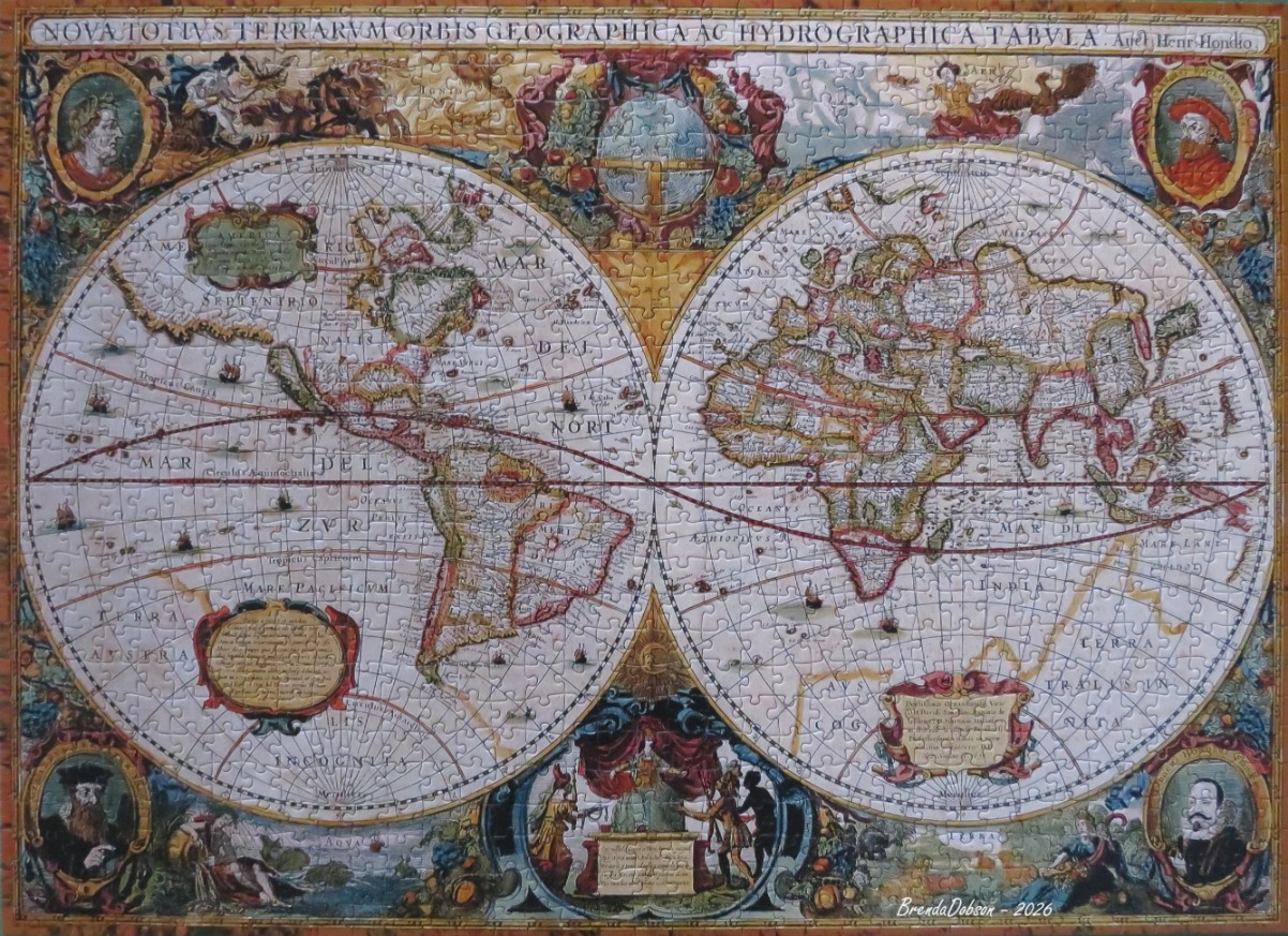
This is a reproduction of a 17th-century world map, featuring two large circular hemispheres. The Western Hemisphere displays North and South America, while the Eastern Hemisphere covers Europe, Africa, Asia, and the western reaches of a southern continent. The map is filled with historical cartographic details, including archaic naming conventions, latitude and longitude lines, and small illustrations of sailing ships navigating the vast, empty expanses of the oceans. The title, "NOVA TOTIVS TERRARVM ORBIS GEOGRAPHICA AC HYDROGRAPHICA TABVLA," is printed in Latin across the top border.
The aesthetic is rich and ornate, characteristic of Renaissance-era cartography. The background of the map is a creamy, aged parchment colour, while the landmasses are outlined in muted earth tones of green, tan, and soft pink. The map is framed by dense, vibrant allegorical artwork in the corners and between the hemispheres. These decorations include portrait medallions of historical figures, depictions of the four elements, and mythological scenes. The overall style mimics a copperplate engraving, using delicate lines and shaded flourishes to create a sense of history, exploration, and classical scientific inquiry.