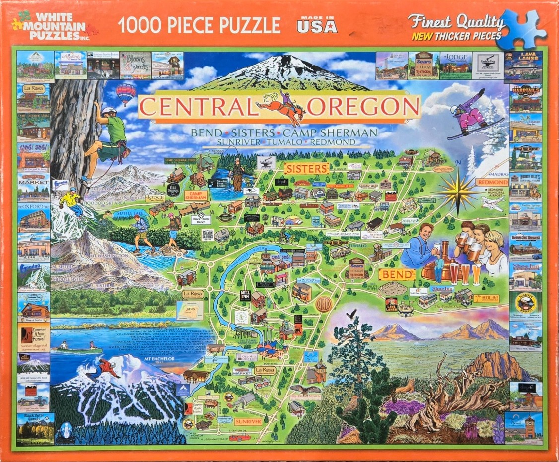
This whimsical, color-saturated pictorial map depicts the Central Oregon region, dominated by a large, snow-capped mountain peak at the top center. The map is framed by a border of dozens of small, square photographic insets showcasing various local businesses and tourist attractions. Central to the composition are the names of towns and recreational areas, interconnected by a web of roads and the Deschutes River, rendered in a bright, illustrative style.
The artwork is teeming with activity, illustrating various outdoor pursuits synonymous with the region. On the left, mountain climbers scale rugged cliffs, while skiers descend snow-covered slopes. Throughout the central map area, figures are depicted hiking, cycling, and kayaking. In the upper right, a snowboarder jumps through the air, while a group of people at the bottom right enjoy beverages at a craft brewery setting.
The color palette is vibrant and varied, transitioning from the deep blues and whites of high-altitude mountain environments to the lush greens of forested areas and the warm, earthy tones of the desert landscape in the lower right. The map is drawn from a bird's-eye perspective, with an artistic, hand-painted aesthetic. The combination of detailed geographical markings, tiny illustrated icons of buildings and wildlife, and scattered figures creates a busy, informative, and cheerful representation of the region's diverse landscape and recreational lifestyle.