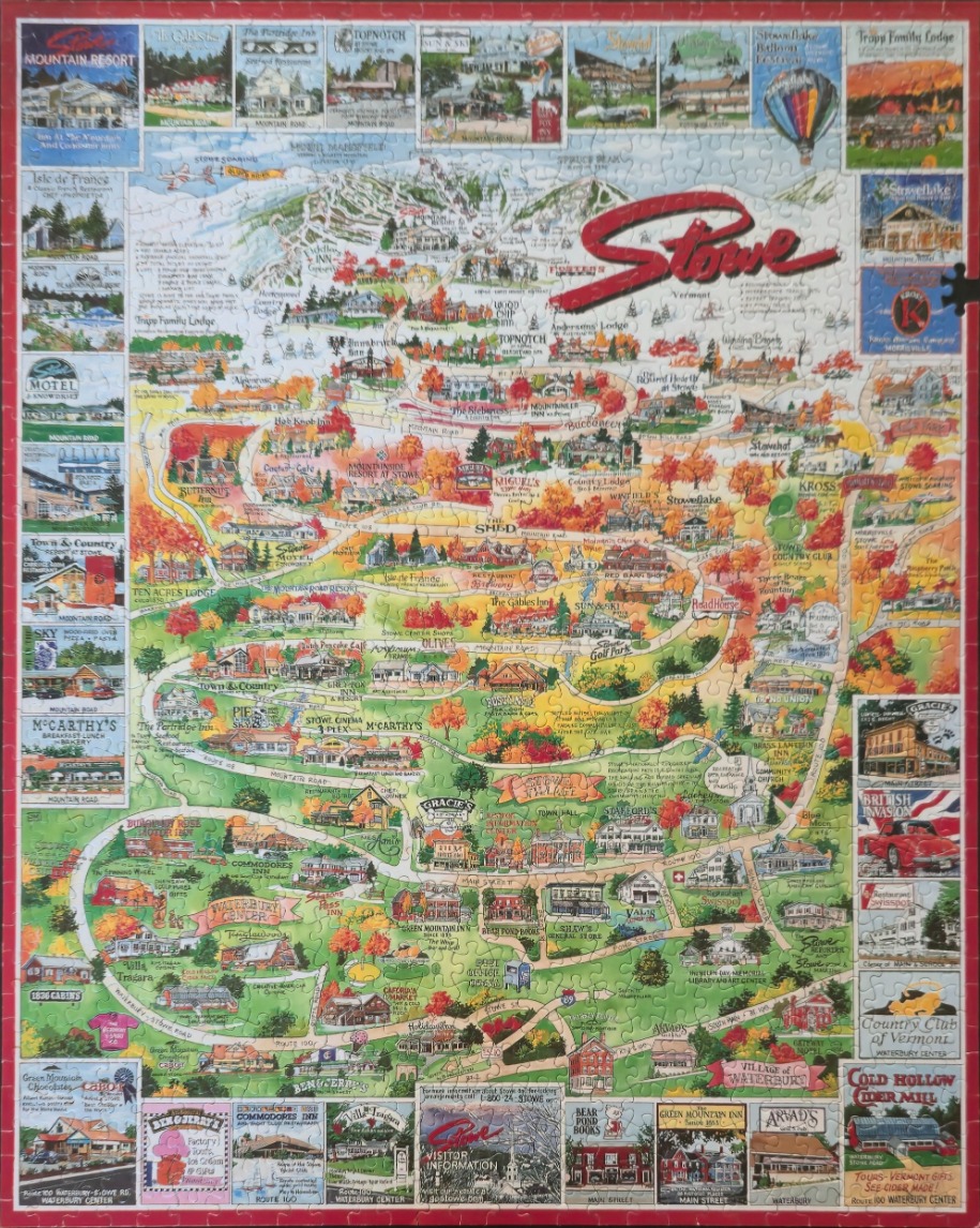
This detailed illustration presents a whimsical, hand-drawn map of the town of Stowe, Vermont, and the surrounding area. The central focus is a winding network of roads that snake through rolling green hills and autumn-foliaged landscapes, connecting various local landmarks, inns, and businesses. The text "Stowe, Vermont" is prominently displayed in a red, brush-stroke font near the top of the map. The artwork style is reminiscent of vintage travel postcards or classic cartographic illustrations, using soft colours and clear labels to identify specific locations.
The layout is framed by a collection of rectangular vignettes that border the main map. Each of these small, individual illustrations captures a specific building, shop, or scene from the area, such as the Cold Hollow Cider Mill, local inns, and recreational facilities. The map itself is densely packed with details, including small renderings of buildings, winding roads, and patches of trees showing seasonal changes from summer greens to autumn oranges and reds.
The overall colour palette is warm and inviting, dominated by natural greens, earthy browns, and vibrant autumnal hues. Light washes of colour give the map a friendly, approachable feel, while the hand-lettered text and precise illustrations suggest a nostalgic guide to the region. The composition is balanced and informative, creating a tapestry of local tourism that invites the viewer to trace the roads from the mountain peaks down into the charming village center.