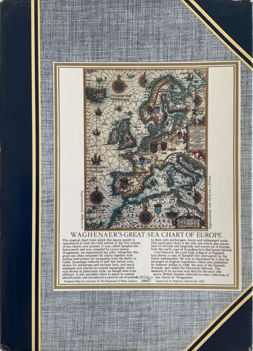
The central artwork is a reproduction of a 1592 sea chart titled "Waghenaer's Great Sea Chart of Europe." This historical map illustrates the continent of Europe, extending from Scandinavia down to the Canary Islands and the northern coast of Africa. The map is drawn in a classic cartographic style featuring detailed coastal outlines, inland topographical markers, and numerous maritime symbols.
Compositionally, the map is centered within a formal rectangular border. It is adorned with decorative elements typical of late 16th-century geography, including multiple compass roses with intricate radial lines, various coats of arms representing different regions, and descriptive text boxes written in Latin script. The overall colour palette is muted, consisting of aged parchment tones, sepia-toned landmasses, and ink-like blue and black detailing for the oceans and navigational markers.
The aesthetic is scholarly and antique, resembling a copperplate engraving. Beneath the map itself is a block of historical text providing context on the origin of the chart, including its creation by Lucas Janszoon Waghenaer and its engraving by Baptista Doetecum. The entire illustration is framed by a grey, fabric-textured border accented with dark blue bands and thin gold lines, giving the impression of a collection of old documents or a vintage reference folio.