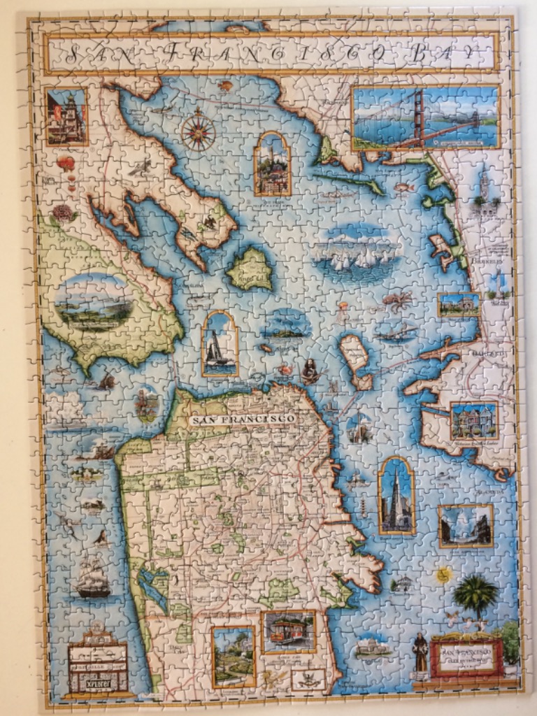
This vintage-style illustrated map depicts the geography of the San Francisco Bay Area with a focus on the coastline and surrounding cities. A large, stylized central compass rose sits in the middle of the deep blue bay waters. The city of San Francisco is rendered in cream and beige tones with a grid of streets, while surrounding areas like Berkeley and Oakland occupy the eastern shoreline. The title, "San Francisco Bay," is presented in an ornate, elegant font at the top of the frame.
Throughout the composition, numerous rectangular vignettes and arched illustrations are scattered across the water and land. These detailed insets feature iconic regional landmarks such as the Golden Gate Bridge, the Transamerica Pyramid, cable cars, and Victorian-style row houses. Smaller decorative elements, including ships, sea creatures, and regional flora, add a whimsical, seafaring charm to the blue aquatic expanse.
The overall aesthetic is that of an antique map, utilizing a muted, classical palette of soft blues, creams, ochres, and muted greens. The light is consistent and flat, highlighting the intricate pen-and-ink style linework used for the street maps and topographical details. The layout is balanced and dense, blending cartographic accuracy with an array of romantic, nostalgic illustrations that celebrate the culture and history of the region.