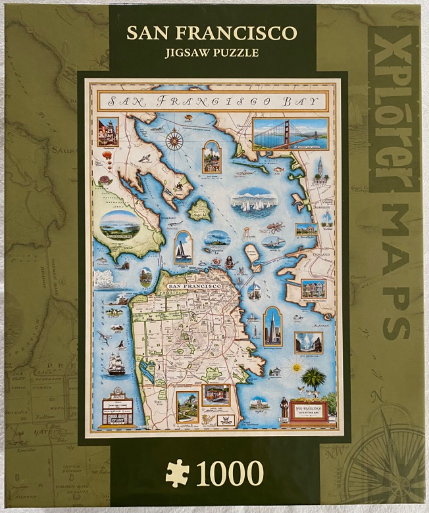
This illustration features a vintage-style map of the San Francisco Bay, rendered in a cream and muted blue color palette. The map provides a detailed view of the coastline, city streets, and surrounding areas, including Oakland and Sausalito. A prominent compass rose is positioned in the upper portion of the bay, while the land masses are filled with delicate line work depicting topography and major thoroughfares.
Surrounding the central map are numerous colorful, framed vignettes showcasing local highlights. These include iconic scenes such as the Golden Gate Bridge, the Transamerica Pyramid, Victorian-style row houses, sailboats on the water, a classic cable car, and native wildlife like pelicans and an octopus. Each illustration is painted in a warm, artistic style that complements the parchment-like background of the main map.
The overall aesthetic is that of an antique navigation chart combined with a modern travel guide. The composition uses elegant cursive lettering for titles and geographical labels, while the borders are clean and structured. The surrounding frame of the image features a darker olive-green background with subtle, faded topographical mapping, creating a cohesive and classic look that emphasizes the historical and geographical charm of the San Francisco region.