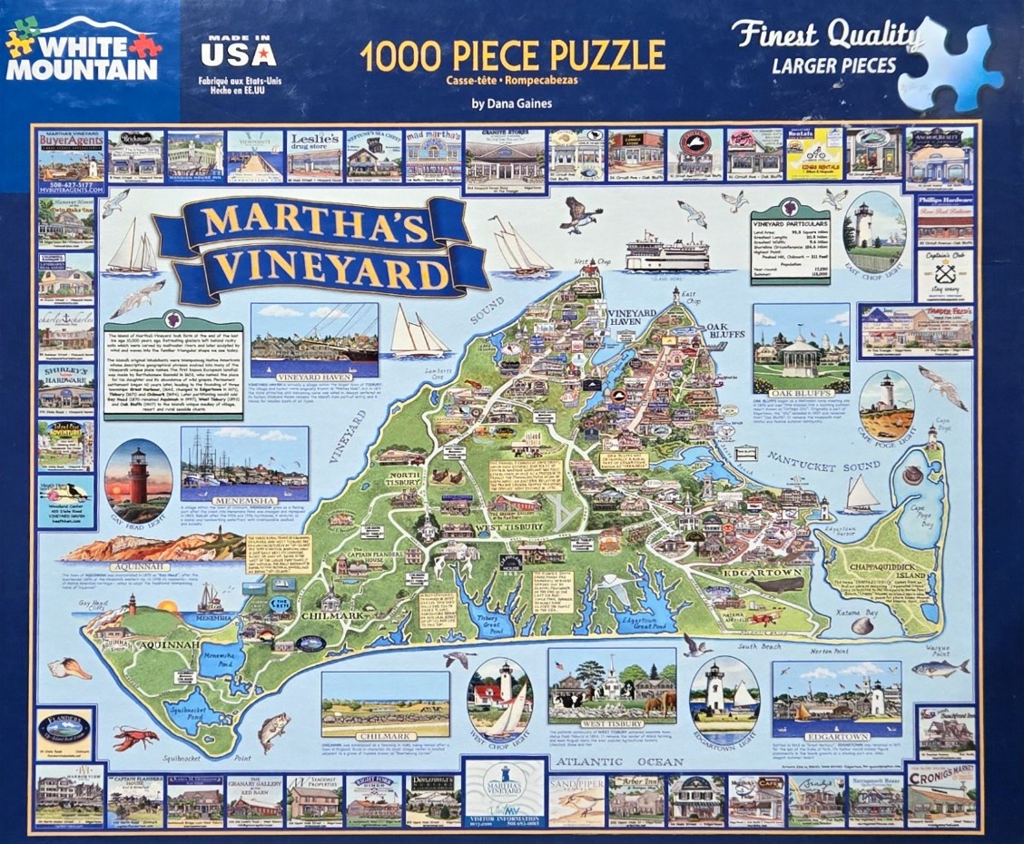
This detailed illustration presents a comprehensive map of Martha's Vineyard, centered against a solid dark blue background. The island itself is rendered in shades of green and cream, showcasing major towns like Vineyard Haven, Oak Bluffs, West Tisbury, and Edgartown. A prominent blue banner crossing the upper left quadrant declares "MARTHA'S VINEYARD" in bold, white, serif lettering. The surrounding Atlantic Ocean and Vineyard Sound are illustrated with various sailboats, seabirds, and a ferry, adding a sense of movement to the coastal geography.
Surrounding the central map are numerous rectangular and oval vignettes, each depicting specific landmarks, iconic buildings, and local businesses. These small, artistic inserts include scenes of lighthouses, such as Gay Head and East Chop, as well as picturesque streets and historic homes. Informative text boxes provide historical context about the island’s geology, settlement, and statistics, while smaller illustrations of native marine life, like a lobster and a fish, are tucked into the corners of the coastal waters.
The artistic style is reminiscent of a vintage tourist souvenir map, utilizing a bright and inviting color palette of blues, greens, and warm earth tones. The composition is highly structured, with the vignettes arranged in neat rows along the perimeter of the central map, creating a frame-like effect. The lighting is soft and consistent throughout, giving the entire scene a clean, classic appearance that highlights both the natural landscape and the human-made character of the island.