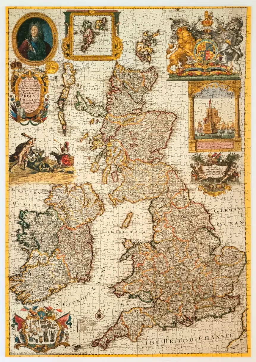
This antique-style map depicts the British Isles, showcasing the geography of Great Britain and Ireland. The central focus is an intricate, hand-drawn style map featuring detailed coastlines, regional divisions, and topography. The surrounding area is filled with elaborate, historical cartouches, including a portrait of a monarch in an oval frame, a large ornate coat of arms, and smaller inset maps of northern regions like the Shetland Islands.
The composition is densely packed with 18th-century decorative elements, including scenes of figures in period attire, architectural frames, and a nautical vessel sailing on the sea. These illustrations provide a scholarly and ceremonial atmosphere, typical of early cartographic prints designed to be both functional and display pieces. The layout is balanced, with heavy decorative borders and vignettes filling the space around the landmasses.
The colour palette is muted and parchment-toned, utilizing sepia, soft golds, earthy browns, and faded reds to simulate the aesthetic of aged paper. The linework is fine and detailed, characteristic of copperplate engravings. The overall mood is formal, historical, and academic, capturing a classic vision of the region through the lens of early modern map-making.