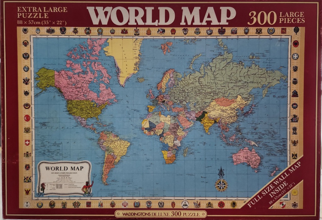
The central artwork is a vintage political world map using a classic Mercator projection. The continents are rendered in muted, traditional cartographic colours—pinks, yellows, and olives—set against a large, pale blue expanse representing the oceans. The map includes detailed topographical markings, political boundaries, and labels for various seas, oceans, and landmasses, reflecting a mid-20th-century geopolitical perspective.
The map is framed within a cream-coloured border featuring a continuous sequence of colourful national flags and heraldic emblems along the top, bottom, and side edges. In the lower-left corner, an ornate cartouche titled "WORLD MAP" contains projection details and is decorated with a small illustration of a Neptune-like figure. A decorative, stylized compass rose is positioned in the lower-right quadrant of the map, adding to the nautical, academic aesthetic of the illustration.
The overall style is that of a historical educational wall map or a navigational chart. The colour palette is deliberate, relying on soft, desaturated tones to ensure readability of the fine text and lines. The composition is balanced and symmetrical, emphasizing the classic, formal presentation typical of instructional geography materials.