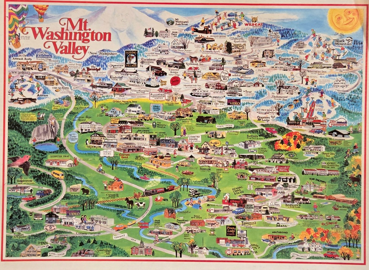
This highly detailed, illustrated pictorial map showcases the Mt. Washington Valley region. The composition is expansive, spanning from a towering, snow-capped mountain range at the top down to rolling green valleys and towns at the base. A winding river snakes through the landscape, connecting the various clusters of buildings, shops, and recreational areas. The artistic style is reminiscent of a whimsical tourist guide, featuring hand-drawn vignettes of historic inns, motels, and businesses, all labeled with their names to help identify specific locations.
The colour palette is vibrant and seasonal, shifting from the cool, icy blues and whites of the high peaks to the lush, verdant greens of the valley floor. Touches of autumn orange and red foliage appear in the lower right, while the sky features two colorful hot air balloons on the left and a smiling, golden sun on the right. Tiny figures of people skiing, cycling, and walking populate the scene, adding a sense of liveliness and scale to the sprawling map.
Scattered throughout the illustration are numerous charming details, including a steam train chugging along the tracks, a pink bird in flight, and various wildlife like bears and cows nestled in the landscape. The artistic medium is an illustrative watercolor style, characterized by clean lines and cheerful, saturated tones that create a welcoming and nostalgic aesthetic. Every inch of the scene is filled with points of interest, inviting the viewer to explore the diverse infrastructure and natural beauty of this famous travel destination.