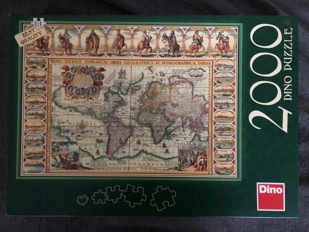
The central image is a vintage-style map of the world, titled "NOVA TOTIUS TERRARUM ORBIS GEOGRAPHICA AC HYDROGRAPHICA TABULA." It features a classic cartographic layout characteristic of the 17th century, showing continents with stylized, sometimes inaccurate proportions. The map includes delicate drawings of ships sailing across the oceans, mythical sea creatures, and ornate decorative flourishes typical of antique cartography.
The main map is framed by a decorative border. The top edge consists of a frieze of seven equestrian figures, each labeled with titles such as "Rex Gallia" and "Rex Dania," representing various European monarchs. Along the left and right vertical edges are rows of oval vignettes depicting small, detailed cityscapes or harbors from around the globe, providing a comprehensive look at the known world of the era. The bottom corners contain allegorical figures representing different regions or cultural concepts of the time.
The colour palette is muted and parchment-toned, utilizing shades of sepia, faded ochre, soft blues, and aged paper whites, which give the entire piece an authentic historical aesthetic. The composition is highly structured and formal, typical of classical atlas plates. The illustration style is refined and intricate, favoring fine line work and cross-hatching to create depth, shadows, and texture within the map features and the surrounding historical depictions.