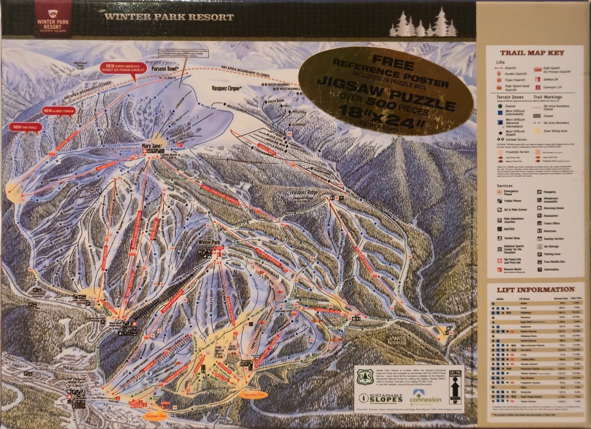
This detailed illustration presents an expansive, high-angle view of a mountainous ski resort, specifically a trail map of the Winter Park Resort. The artwork depicts rugged peaks, rolling ridges, and dense forested slopes blanketed in snow. Numerous colored lines intricately crisscross the mountain face, representing various ski trails and routes, while thin red lines indicate the paths of the resort's chairlift and gondola systems. Specific areas like Parsenn Bowl, Vasquez Cirque, and Mary Jane are prominently labeled, capturing the complex topography of the high-altitude terrain.
The map is rendered in an artistic, painterly style that emphasizes the texture of the snow-dusted evergreens and the stark, rocky contours of the alpine peaks. The color palette relies heavily on shades of snowy white, cool blues, and earthy forest greens, which effectively communicate the cold, wintery environment. The lighting is diffuse and even, ensuring that the entire map remains clear and readable despite the dense network of paths and names.
Along the right-hand margin, a tan-colored sidebar provides supplementary information, including a detailed legend for trail markings, terrain zones, lift types, and various resort services. Below this, a section titled "Lift Information" lists specifications for the various chairlifts depicted. The overall composition balances the illustrative mountain scene with technical geographic data, providing a comprehensive overview of the resort's facilities and navigation.