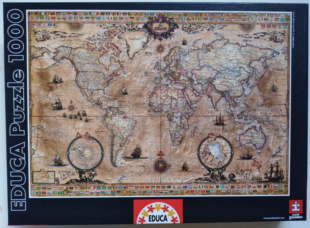
This artwork depicts a classic, antique-style world map designed with the aesthetic of an 18th-century nautical chart. The map spans the entire globe, rendered in muted, sepia-toned parchment colours that give it a weathered, historical appearance. In the upper center, an ornate, decorative cartouche identifies the map as "The World," surrounded by intricate baroque-style flourishes. The map includes two circular inset projections at the bottom, showcasing the North and South Poles, each supported by stylized figures.
The composition is filled with thematic details characteristic of old exploration charts. Throughout the vast oceans, there are various illustrations of historic galleons and sailing ships in full sail, suggesting an age of discovery. A prominent, detailed wind rose compass sits near the center, and additional smaller navigational tools are dispersed across the layout. The top and bottom margins are framed by a continuous border of small, colorful national flags, providing a sharp contrast to the aged, monochromatic look of the primary map background.
The overall mood is nostalgic and academic, emphasizing traditional cartography. The texture appears to mimic stained or aged paper, with light and shadow used to suggest crinkles or fading over time. The level of detail is high, with fine, spindly typography marking countries and major ocean regions, successfully capturing the feel of an artifact found in a maritime study.