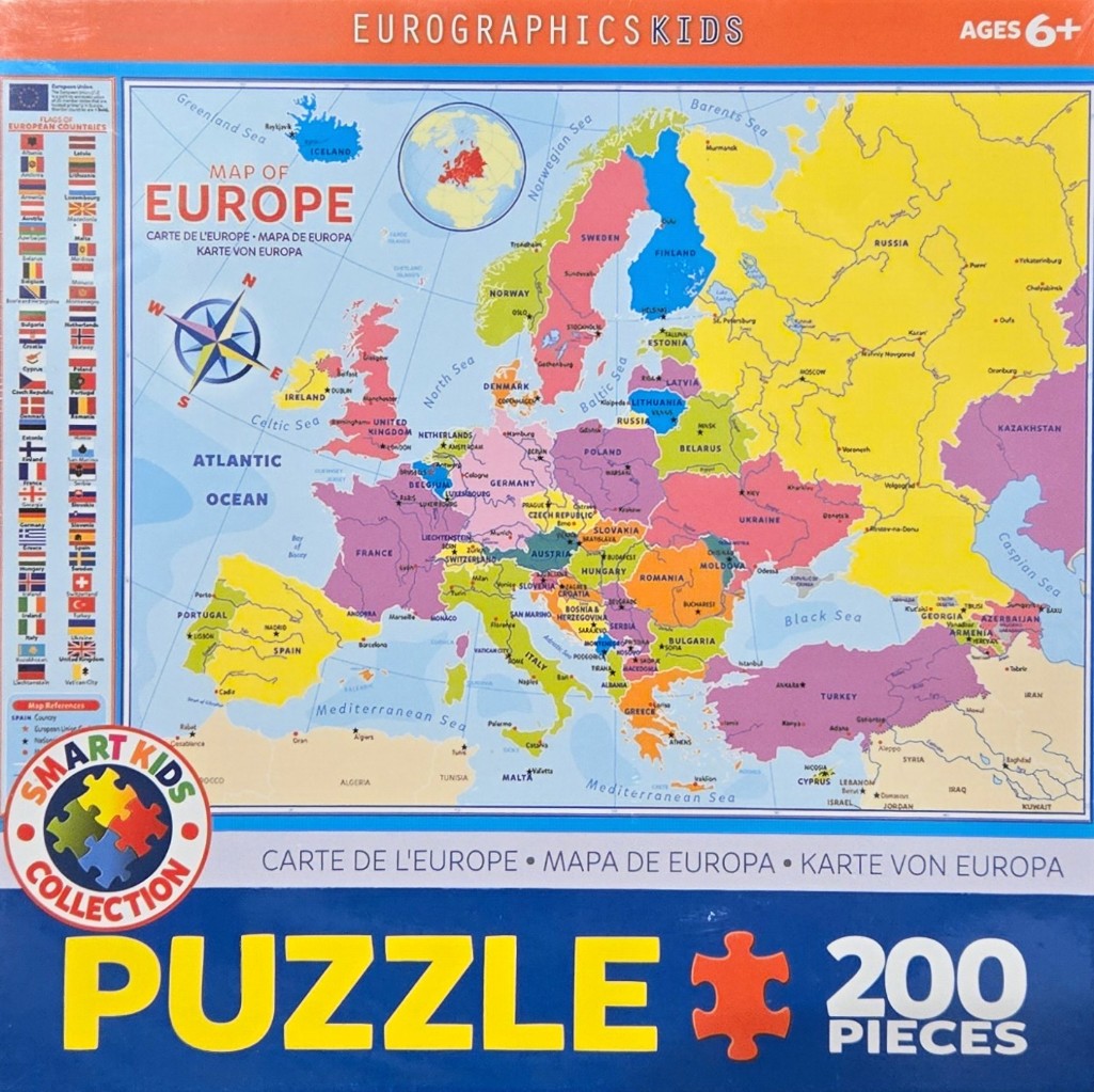
This illustration features a bright, political map of Europe designed for educational use. The central focus is the landmass of Europe, subdivided into individual countries rendered in distinct pastel colors such as yellow, pink, green, orange, and blue. Major bodies of water like the Atlantic Ocean, North Sea, and Mediterranean Sea are depicted in a soft, light blue, while significant cities are marked with small stars and identified by name.
To the left of the main map is a vertical column featuring rows of national flags for various European countries, arranged in a grid-like fashion with labels. In the upper left corner, a nautical compass rose provides directional orientation. An inset circle at the top center displays a smaller, globelike perspective of Europe, highlighting its position within a wider geographical context. Text across the top and bottom of the map provides multilingual titles for the region.
The style is clean, graphic, and highly legible, prioritizing clarity for a younger audience. The color palette is vibrant yet balanced, ensuring that adjacent countries are easy to distinguish from one another. The composition is straightforward and functional, effectively organizing geographical data, national symbols, and maritime features into a comprehensive instructional display.