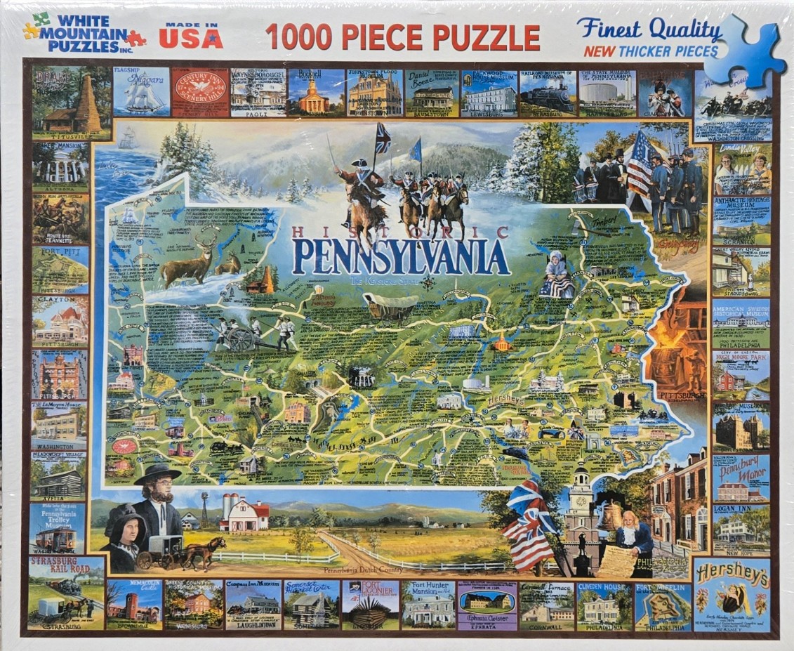
This map illustration centers on the state of Pennsylvania, rendered with a light-green hue and detailed with winding roads, regional text, and illustrations of historical landmarks. At the top center, a group of Revolutionary War soldiers on horseback carrying a flag overlooks the state territory. The surrounding border is composed of a collage of smaller, individual illustrations depicting famous locations, buildings, and cultural motifs, such as locomotives, colonial homes, and the Liberty Bell.
Below the main map, the scene transitions into a serene landscape of Pennsylvania Dutch country, featuring a farmhouse, rolling golden fields, and a horse-drawn carriage. To the right, a patriotic display includes an American flag and a figure reminiscent of Benjamin Franklin holding a document. The composition is structured like an educational wall map, blending geographical information with artistic representations of heritage.
The artwork utilizes a painterly style with a warm, nostalgic color palette dominated by earthy greens, golden yellows, and touches of patriotic red, white, and blue. The light appears soft and diffuse, highlighting the intricate details of the miniature scenes. The entire presentation is framed by the grid of peripheral images, creating a comprehensive, busy, and vibrant tribute to the state's long history.