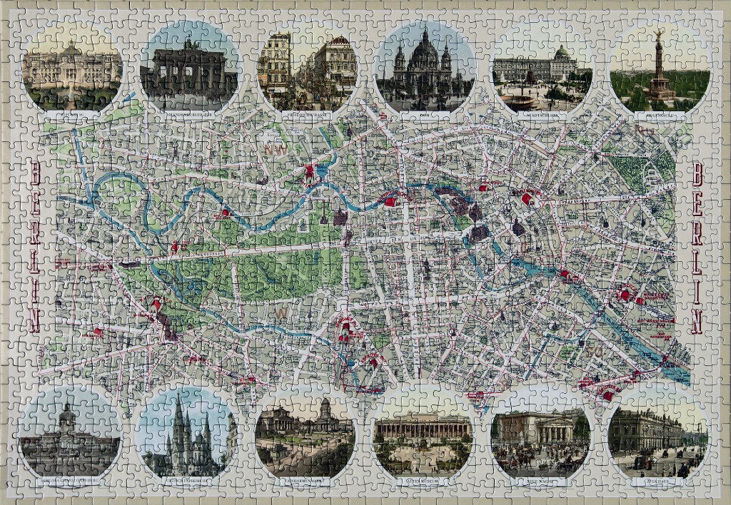
This vintage-style illustrated map depicts the city of Berlin, showcasing its intricate street network, river system, and green spaces. The central area is dominated by the sprawling Tiergarten park and the winding path of the Spree River, which cuts across the urban grid. The map is presented in a muted, classic cartographic palette of cream, soft grey, and pale green, with the word "BERLIN" written vertically in large, decorative serif lettering along both the left and right margins.
Surrounding the central map are twelve circular vignettes, each featuring a hand-coloured illustration or historical photograph of a significant city landmark. These include iconic sites such as the Brandenburg Gate, the Berlin Cathedral, and the Victory Column, alongside other historical buildings like the Altes Museum and the Zeughaus. Each vignette is framed with a thin white border and labelled with its name at the bottom in elegant script.
The overall aesthetic is that of a historical souvenir print or a classic tourist guide from the late 19th or early 20th century. The lighting is soft and even across the entire composition, creating a refined and scholarly mood. The combination of detailed urban cartography and artistic architectural depictions provides a comprehensive visual overview of the city's historical urban layout and its most celebrated cultural monuments.