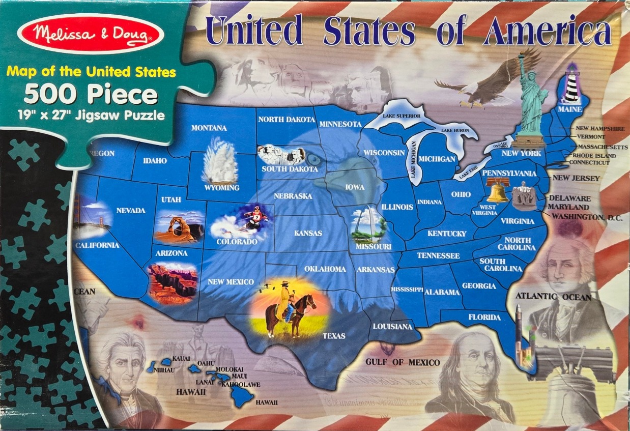
This illustration features a vibrant, blue-filled map of the United States of America centered against a backdrop of the American flag. The primary subject is a political map of the lower 48 states plus Hawaii, rendered in a bold, solid blue. Superimposed over the central map is a large, translucent portrait of a bald eagle, serving as a patriotic watermark.
Various iconic American landmarks and symbols are scattered across the map to represent different regions. Examples include the Statue of Liberty and the Liberty Bell in the East, the Golden Gate Bridge in the West, and Mount Rushmore in the Midwest. Further imagery includes a skier in Colorado, a cowboy in Texas, and Old Faithful in Wyoming.
The composition is framed by patriotic elements, including a faded image of George Washington and Benjamin Franklin in the bottom corners, and the ghostly outlines of Mount Rushmore figures at the top. The background consists of stylized, waving red and white stripes of the flag. The color palette relies heavily on the classic red, white, and blue motif, creating a cohesive, educational, and historical aesthetic. The style is that of a collage or a thematic educational graphic, combining map data with patriotic photography and illustration.