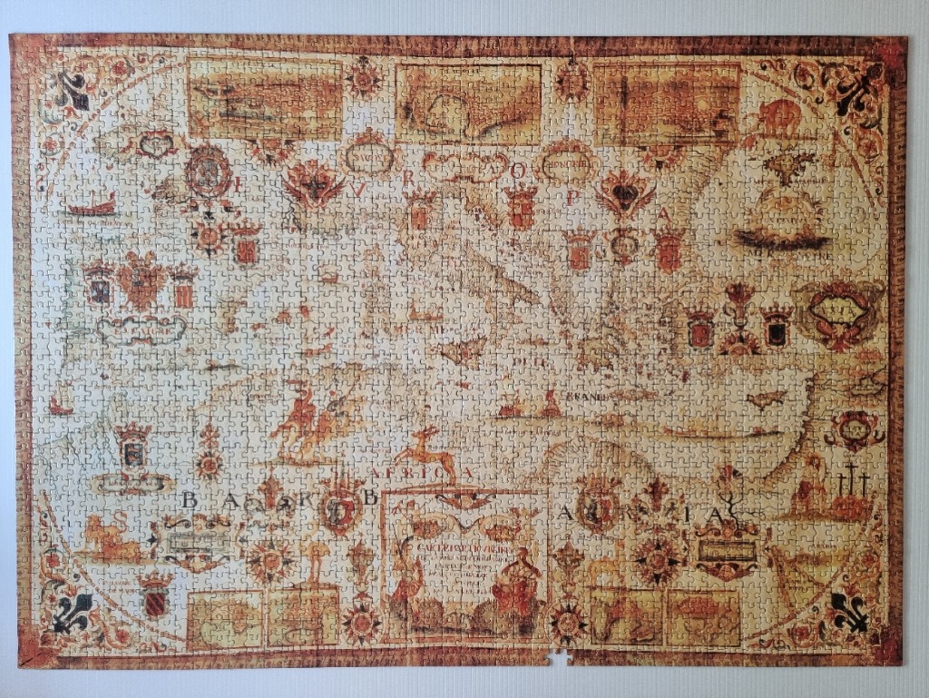
This image depicts an ornate, antique-style cartographic illustration of the Mediterranean region, rendered in a parchment-like aesthetic. The map captures the coastlines of southern Europe, northern Africa, and the Middle East, characterized by delicate lines and detailed geographic features. The central expanse shows the sea, while the surrounding landmasses are punctuated by historical labels and artistic symbols.
The composition is heavily framed by decorative borders featuring fleur-de-lis motifs and deep rust-toned scrollwork. Scattered across the surface are numerous intricate coats of arms, crests, and cartouches containing descriptive text. Small, whimsical illustrations of ships, animals, and mythical figures are integrated into the map, providing a narrative quality common in early modern cartography. The overall layout is symmetrical and deliberate, designed to evoke the appearance of a sixteenth or seventeenth-century navigational chart.
The colour palette is intentionally muted and aged, relying on warm shades of sepia, cream, tan, and rust. These earthy tones, combined with a simulated weathered texture, create a vintage, historical atmosphere. The lighting is uniform across the scene, highlighting the fine calligraphic lettering and the ornate decorative elements that adorn the corners and margins of the map. This illustration serves as a stylized representation of early European exploration and geographic knowledge.