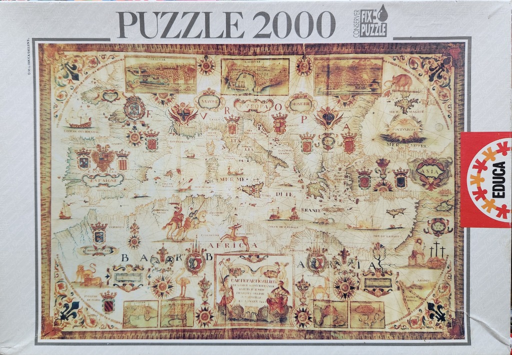
This artwork features an antique-style map centered on the Mediterranean Sea, depicting Southern Europe, North Africa, and parts of the Middle East. The composition is styled like a 17th-century navigational chart, with the landmasses rendered in warm, muted parchment tones. The sea is filled with intricate line work representing currents or trade routes, alongside illustrations of historical ships, small land-based creatures, and mythical imagery.
Surrounding the central map are various ornate heraldic crests, shields, and regional labels written in stylized script. The corners and margins contain smaller, boxed-in landscape vignettes showing cities or historical scenes, adding a framed effect to the cartography. A prominent, elaborately decorated title cartouche is situated near the center of the African coastline, balancing the composition.
The overall color palette is dominated by sepia, ochre, faded tan, and rich burnt orange, evoking the appearance of aged vellum or weathered parchment. The style is illustrative and highly decorative, emphasizing historical aesthetic over modern geographical accuracy. The map is bordered by a dark, textured decorative frame that mimics the look of an old document or tapestry, further enhancing the antique feel of the piece.