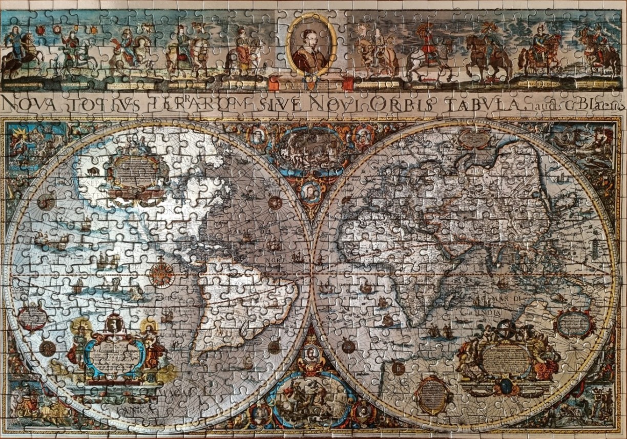
This image depicts a reproduction of a 17th-century double-hemisphere world map titled "NOVA TOTIUS TERRARUM SIVE NOVI ORBIS TABULA." The map is presented in a classic cartographic style, featuring two large, circular hemispheres that dominate the composition. The western hemisphere contains the Americas, while the eastern hemisphere displays Europe, Africa, and Asia. Both spheres are intricately detailed with geographical outlines, ship illustrations, sea creatures, and complex navigational grid lines.
The layout is framed by a highly decorative border. Along the top, a horizontal frieze displays a sequence of figures on horseback and portraits, centered around a prominent oval portrait. The four corners of the map are filled with allegorical scenes depicting the elements or seasons, rendered in the rich, muted tones characteristic of old-world illustrations. Elaborate, ornate cartouches featuring Latin text and mythical motifs are embedded within the oceans and at the bottom of the map, serving as titles and credits.
The overall colour palette is muted and antique, relying on sepia, weathered parchment tones, faded blues, and weathered greens. The linework is fine and dense, reflecting the copperplate engraving style common to 1600s cartography. The mood is scholarly and historical, evoking the Age of Discovery through its blend of scientific navigation and artistic embellishment.