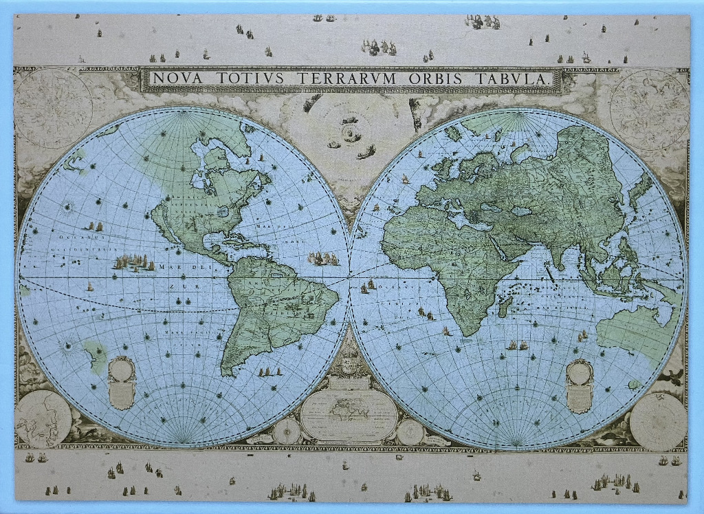
This vintage-style illustration presents a classic double-hemisphere world map set against a muted, aged parchment background. The title, "NOVA TOTIVS TERRARVM ORBIS TABVLA," is printed in a bold, rectangular cartouche along the top center. The composition is divided into two large circular hemispheres: the western hemisphere on the left shows North and South America, while the eastern hemisphere on the right depicts Europe, Africa, Asia, and Australia. The landmasses are rendered in a soft, sage green, while the vast oceans are a pale, weathered blue, crisscrossed by a network of thin black latitude and longitude lines.
The artwork evokes the aesthetic of 17th-century cartography, complete with intricate details like tiny hand-drawn sailing ships scattered across the oceans and floating in the margins at the top and bottom of the frame. Decorative circular insets representing the poles and celestial elements are tucked into the corners, and an ornate, detailed text box sits at the bottom center between the two hemispheres. The overall tone is historical and educational, utilizing a palette of earthy tones, muted greens, and faded blues to convey a sense of discovery and antiquity. The layout is symmetrical and balanced, emphasizing the cartographic precision characteristic of historical exploration maps.