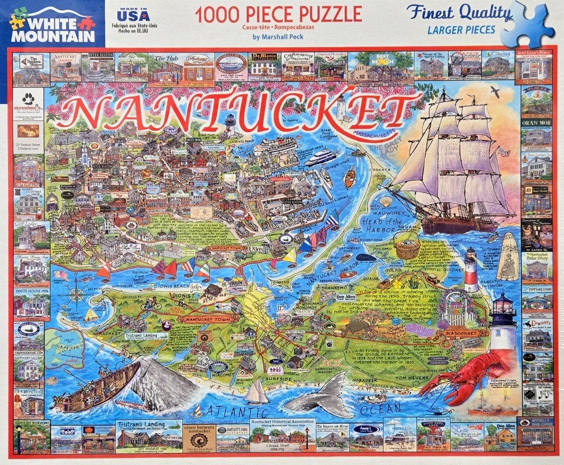
This detailed pictorial map of Nantucket island is densely packed with illustrations, historical notes, and vignettes of local landmarks. A large, majestic tall ship with white sails dominates the eastern section, set against a vibrant orange and pink sunrise or sunset. Below the ship, the coastal waters are rendered in various shades of blue, populated with smaller boats, a breaching whale, and a large red lobster near the bottom right. The landmass itself is filled with labeled town streets, winding roads, and specific geographic points like Siasconset and Dionis Beach.
The entire composition is framed by dozens of small, square illustrations depicting individual shop fronts, restaurants, and historical buildings, each labeled with their name and street address. The word "NANTUCKET" is written in large, playful red letters across the top center, framed by a delicate wreath of roses. Small text blocks scattered throughout the map provide tidbits of local lore, historical facts about the whaling industry, and geographic information, creating a scrapbook-like aesthetic.
The illustration style is charming and slightly whimsical, using a bright, saturated colour palette that highlights the nautical theme. The blues of the surrounding Atlantic Ocean contrast sharply with the lush greens of the island's interior and the warm hues of the buildings. The map balances a complex layout of informational text and tiny graphical details, resulting in an inviting and educational celebration of the island's heritage and tourism.