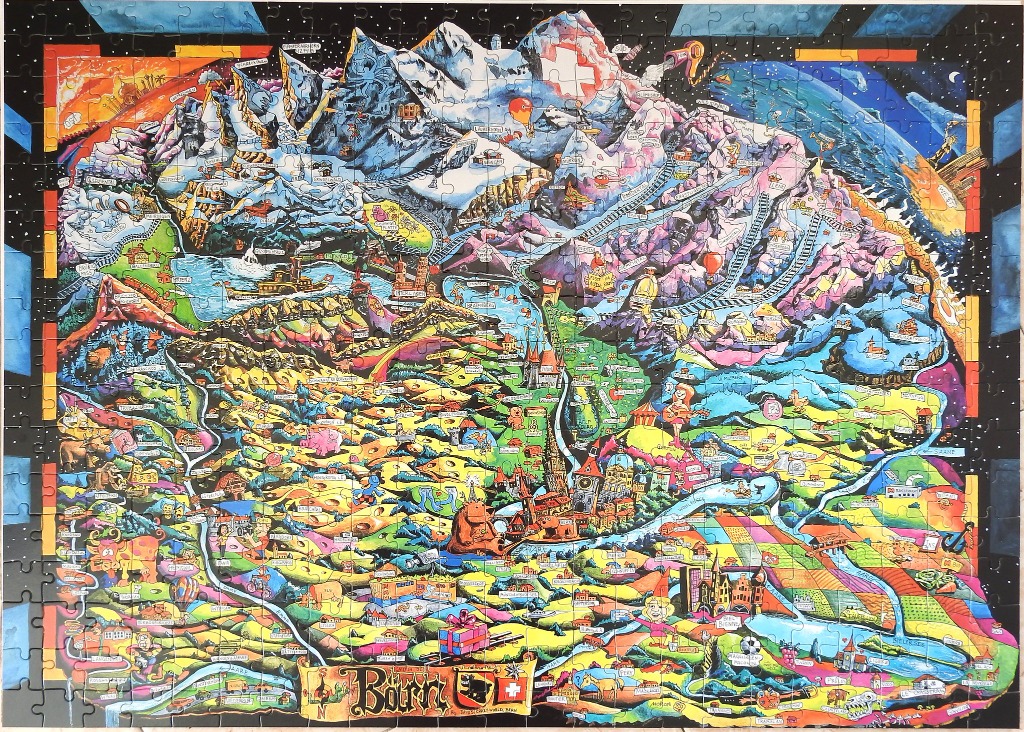
This highly detailed, cartoon-style illustration depicts a whimsical map of the Bern region in Switzerland. The image is densely packed with topographical features, including towering, snow-capped mountains in the background and a sprawling valley landscape in the foreground. A meandering river cuts through the center, leading the eye from the rugged peaks down toward a patchwork of farmlands, small villages, and the iconic city center of Bern, which is identified by its distinct clock tower and architecture.
Technically, the composition is a vibrant, map-like narrative that balances a realistic geographical layout with imaginative elements. The entire scene is framed against a deep, dark starry night sky, creating a striking contrast with the saturated colors of the terrain. The palette is rich and diverse, utilizing bright yellows, lush greens, deep purples, and icy blues to define different elevations and regions. Thin, winding railway lines traverse the mountain sides, connecting the various locations scattered throughout the scene.
The illustration is filled with countless tiny details and characters, creating a sense of chaotic energy and discovery. Small figures are scattered throughout the landscape, engaged in various activities, and the text labels identify specific towns and geographic markers. At the bottom center, a decorative banner features the word "Bern" alongside the regional crest, anchoring the composition. The overall mood is playful and adventurous, resembling an intricate travel poster reimagined through a whimsical, artistic lens.