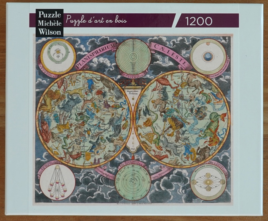
This antique-style celestial map, titled "Planisphaerium Caeleste," features a dual-hemisphere layout of the constellations. Two large, ornate circular charts dominate the center, depicting the northern and southern skies populated with classical figures and mythical creatures representing the various zodiac and constellation signs. These central maps are detailed with delicate line work, identifying the constellations and stars in Latin script.
Surrounding the central spheres are four smaller circular diagrams displaying different astronomical hypotheses, including those by Ptolemy and Copernicus. These smaller charts utilize precise geometric lines, concentric circles, and orbital diagrams to illustrate historical understandings of the cosmos. The entire arrangement is set against a backdrop of stylized, dark grey clouds, which provide a moody, atmospheric contrast to the lighter, cream-toned parchment of the maps.
The colour palette is intentionally muted, leaning into the aesthetic of historical hand-tinted engravings. Soft shades of moss green, muted terracotta, and washed-out blues delineate the figures, lines, and text within the maps. The overall composition is balanced and symmetrical, evoking the appearance of an 18th-century scientific plate from an old atlas or astronomy textbook. The text is written in an elegant, serif typeface, maintaining the formal and educational tone of historical cartography.