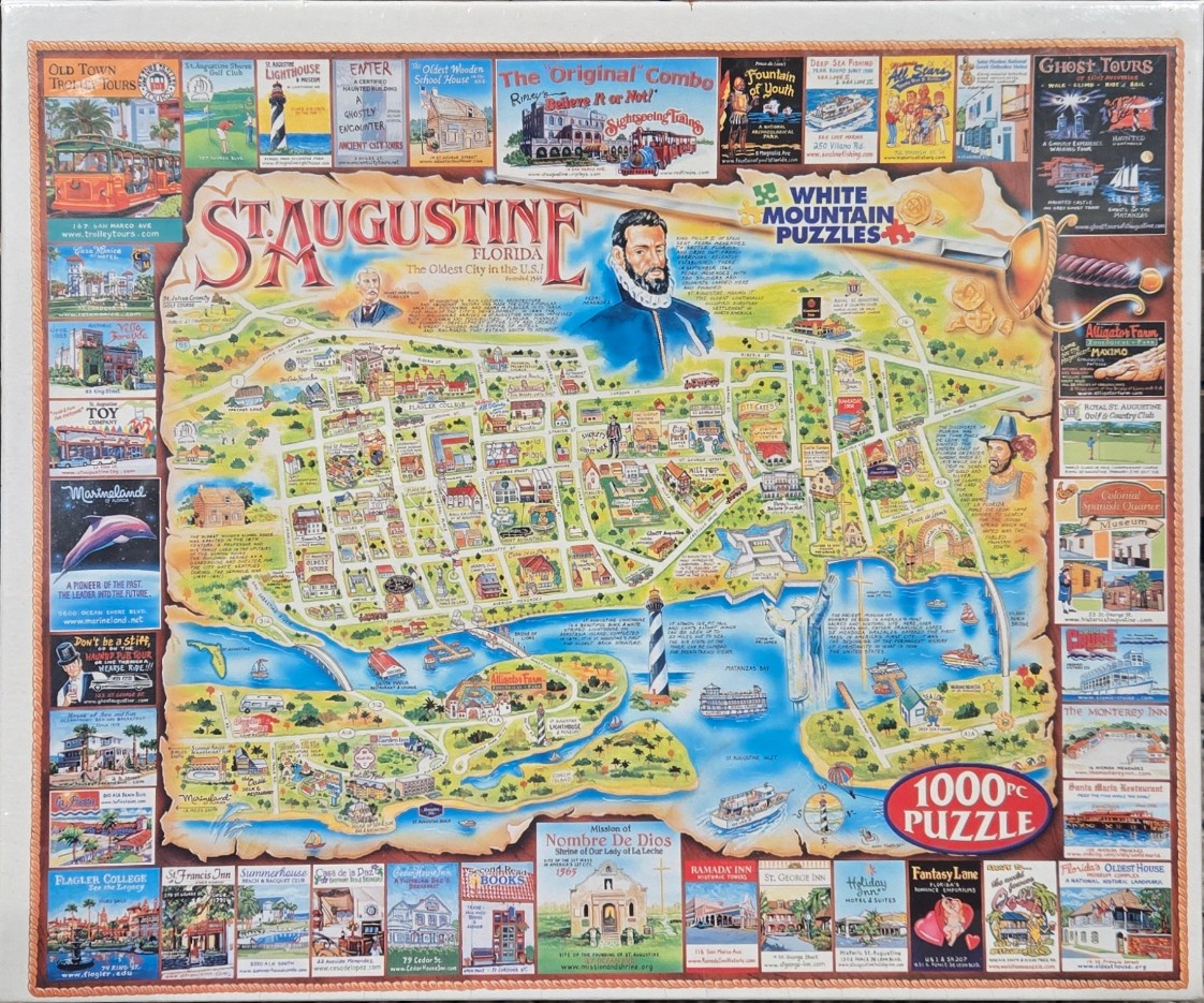
This illustrative map depicts the city of St. Augustine, Florida, rendered in a colorful, cartographic style. The central map highlights streets, landmarks, and waterways, including Matanzas Bay and the Bridge of Lions. Prominently featured in the upper-center of the map is a portrait of Pedro Menéndez de Avilés, the city's founder, alongside historical text and a sword graphic. Small, charming illustrations of buildings and park areas are scattered across the city grid, set against a parchment-toned background that gives the piece an antique feel.
The map is framed by a decorative border consisting of numerous rectangular tiles. Each tile features an individual image of a local point of interest, such as the St. Augustine Lighthouse, various hotels, museums, and recreational attractions like Marineland and Alligator Farm. These smaller vignettes provide a vivid, bustling overview of the city's tourism industry, using a bright and inviting color palette that balances the softer, rustic tones of the central map.
The overall composition is organized like a traditional souvenir travel guide. The hand-drawn aesthetic combines whimsical detail with informative geography, making the layout dense with information yet easy to follow. The light, warm background of the map contrasts effectively with the deep blue of the water and the vibrant variety of the peripheral attraction thumbnails.