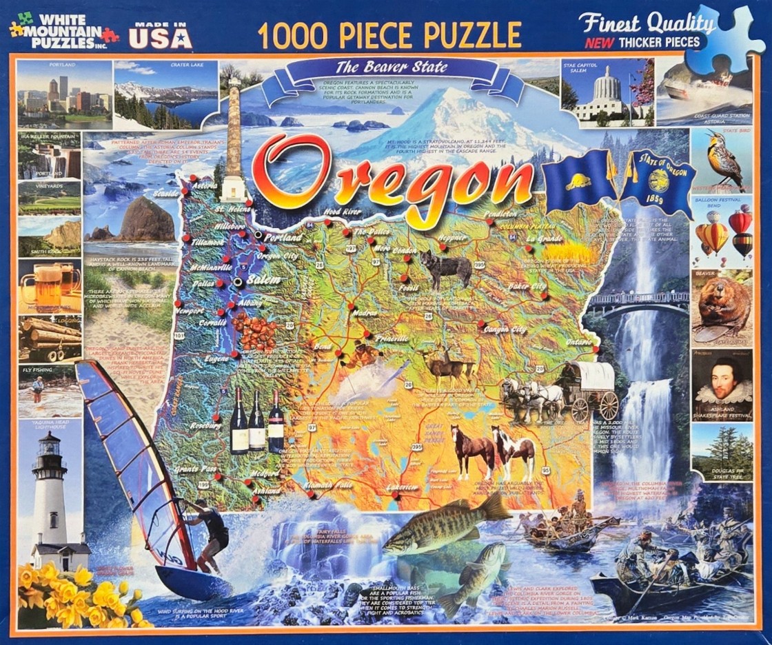
This illustrative map captures the essence of Oregon through a central, colorful topographical view of the state, overlaid with major cities, highways, and thematic icons. The word "Oregon" is written in large, bold script across the center, accompanied by the state flag. Surrounding the map is a collection of vignettes showcasing specific state features, including the Astoria Column, the Oregon State Capitol, and the volcanic peak of Mt. Hood.
The composition is densely packed, with the central map transitioning into a vibrant maritime and nature scene at the bottom. This lower section highlights the state's natural beauty, featuring a windsurfer on the water, leaping bass, and historical depictions of explorers in canoes navigating the Columbia River.
The color palette is diverse, utilizing the earthy browns and greens of the state's geography, the deep blues of its water bodies, and the bright, contrasting highlights of the illustrative elements. A warm, golden light suggests a sunny, inviting atmosphere throughout the landscape.
Additional smaller inset images are arranged along the left and right margins, serving as a "best of" guide to Oregon. These vignettes depict varied subjects ranging from agriculture and forestry—such as vineyards and logs—to local fauna like beavers and wolves. Cultural elements, including a nod to the Shakespeare Festival and iconic geological formations like Haystack Rock, complete this detailed pictorial guide.