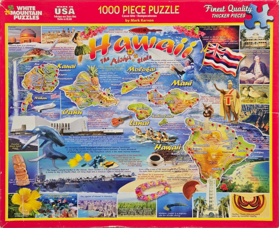
This vibrant collage-style illustration serves as an educational map of the Hawaiian Islands. The composition is anchored by a large, colorful title reading "Hawaii, The Aloha State," positioned centrally over a map of the archipelago. Individual islands are depicted with topographic detail, major cities, and notable geographic features. Surrounding the map is a collection of thematic imagery including a hula dancer, a surfer, traditional tiki carvings, and a variety of local flora such as hibiscus flowers and leis.
Surrounding the central map are numerous smaller photographic vignettes and illustrations that highlight specific aspects of Hawaiian culture, history, and geography. These details include images of the Iolani Palace, the USS Arizona Memorial, active volcanic eruptions, and various marine life like humpback whales and reef fish. Cultural artifacts like a traditional ukulele, feather helmets, and cloaks are also featured, providing a snapshot of the region's heritage. The islands themselves are color-coded in warm, earthy tones, set against a bright, sunny background that evokes the tropical nature of the state.
The artwork uses a bright, saturated color palette, with high contrast used to make each individual vignette pop against the central map. The lighting is generally even and sunny, contributing to an inviting and optimistic mood. The style is that of a classic tourist-focused pictorial map, blending artistic illustrations with inset documentary-style photographs to provide a comprehensive visual tour of the archipelago's natural beauty and historical significance.