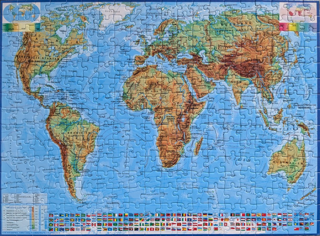
This physical world map provides a comprehensive view of the Earth's continents and oceans, rendered with a topographical shading style that emphasizes mountainous regions and elevation changes. The landmasses are depicted in varying shades of tan, brown, and green, suggesting different elevations and terrain types. The vast oceans are colored in a uniform, light blue, creating a clear contrast with the land.
The layout follows a standard projection, with smaller inset maps at the top corners illustrating climatic zones. Throughout the map, political boundaries are marked, and major cities are labeled in German. The bottom of the frame is lined with a detailed collection of national flags from around the world, arranged in neat rows to provide a reference for the countries depicted above. A legend in the lower-left corner explains the topographic color coding and map abbreviations.
The overall aesthetic is that of a classic educational wall chart, combining geographical data with cartographic precision. The lighting is even and flat, typical of a cartographic illustration designed for clarity and study rather than artistic flourish. The text remains legible against the shaded relief of the continents, maintaining a balance between the visual representation of the landforms and the essential political labeling.