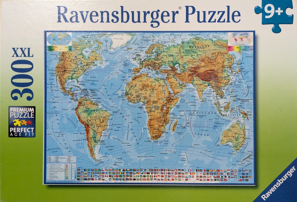
This illustration depicts a detailed physical world map presented in a standard projection. The continents are rendered with distinct topographic shading, ranging from light tan in arid regions to lush green in forested areas and deep brown in mountainous terrains. The vast oceans are a soft, pale blue, intersected by complex, curved white lines representing major global ocean currents.
The composition is balanced, with the familiar shapes of North and South America on the left, Africa and Europe in the center, and Asia and Australia on the right. Small inset maps are located in the top corners, providing supplementary geographical information. The borders of sovereign nations are clearly delineated with thin lines, and the names of countries and major cities are printed in a clean, sans-serif typeface.
Along the bottom edge of the map, a dense, colorful row of international flags provides a border-like decorative element. To the lower left, a legend key explains the map's symbology. The overall color palette is professional and educational, characterized by earth tones for the landmasses and various shades of blue for the maritime regions. The map style is classic cartography, emphasizing physical geography and navigation over political focus, resulting in a clear and informative visual reference.